Line © OpenStreetMap contributors (ODbL), checked by Global Adventurer.
The walk
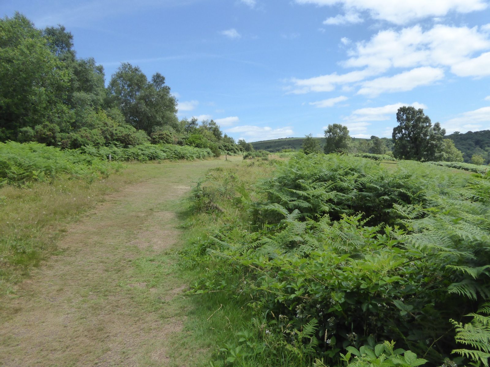
From the National Trust car park at Castle Drogo the walk heads down to the Hunter's Path, which runs east along the rim of the Teign Gorge with long views down the valley. It passes the viewpoint at Sharp Tor and comes down by road to Fingle Bridge, a packhorse bridge with an inn. The return follows the Fisherman's Path upstream along the north bank of the river, past an old hydro turbine house and Drogo weir, before climbing back through the woods to the castle.
It is 7.1 km with 178 m of ascent; allow about 2½ hours. The grade is Easy. There are steep descents and climbs, and many steps.
The gorge is very steep in places and there are no barriers, for example at Sharp Tor: keep children and dogs close. The steps on the Fisherman's Path at the foot of Sharp Tor are rough and slippery when wet. Take care on the road down to Fingle Bridge. The National Trust asks for dogs on leads, and there is no phone signal in the gorge.
National Trust members park free; other visitors pay. There is no station near; the nearest is Yeoford, about 10 km away.
Route drawn by Global Adventurer along OpenStreetMap paths (© OpenStreetMap contributors, ODbL), with figures worked out from it. Check the forecast and the ground on the day: paths change.
Good to know
- The Hunter's Path along the rim of the Teign Gorge below Castle Drogo, the last castle built in England
- Past the Sharp Tor viewpoint and down to Fingle Bridge, a 17th-century packhorse bridge
- Back along the river on the Fisherman's Path, past the turbine house and Drogo weir
- Steps and steep drops: there are no barriers at Sharp Tor
Summits on the way
- Sharp Tor 250 m · passed close by
- Hunters Tor 180 m · passed close by
Getting there
Start: Castle Drogo car park · Pay and display. 50.69796, -3.80712
Places to stay nearby
Rooms in and around Yeoford: Booking.com → Expedia →
Affiliate links: if you book, Global Adventurer earns a small commission at no cost to you.
Paths change, and the weather decides the day. The line and figures come from OpenStreetMap and our own checks; take a map, check the forecast, and turn back if it isn't right.