Line © OpenStreetMap contributors (ODbL), checked by Global Adventurer.
The walk
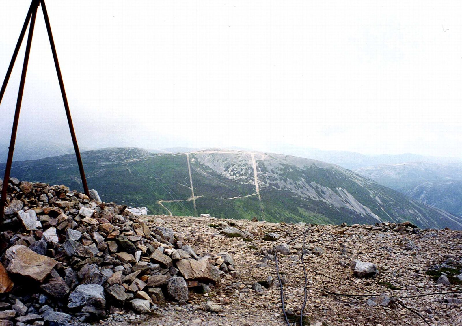
The walk starts from the large car park at the Glenshee Ski Centre and makes a circuit. It climbs Carn Aosda (915 m) first, drops to lower ground between the two hills and then climbs The Cairnwell (933 m) before returning to the car park. About half the route is on track, much of it through the ski area, with the rest mostly on path and a little road.
It is 7.0 km with 530 m of ascent; allow about 3½ hours. The grade is Moderate, and because the car park is at over 650 m the climbing is modest. Ski tows and fences are never far away. The tops are still exposed, and in mist or winter conditions you need a map, compass and warm, windproof clothing. There are no mapped water sources on the route. A ski-area shelter, The Club Hut, lies just off the route, but don't rely on it.
The ski centre is on the A93 at the Cairnwell Pass, between Blairgowrie and Braemar, the highest public road pass in Britain. The car park charges a fee.
Route drawn by Global Adventurer along OpenStreetMap paths (© OpenStreetMap contributors, ODbL), with figures worked out from it. Check the forecast and the ground on the day: paths change.
Good to know
- Two Munros from a car park at over 650 m, the highest public road pass in Britain
- Among the easiest Munros to reach
- Through the Glenshee ski area
Summits on the way
- Carn Aosda 915 m
- The Cairnwell 933 m
Getting there
Start: Glenshee · Pay and display. 56.88313, -3.41172
Places to stay nearby
Rooms in and around Pitlochry: Booking.com → Expedia →
Affiliate links: if you book, Global Adventurer earns a small commission at no cost to you.
Paths change, and the weather decides the day. The line and figures come from OpenStreetMap and our own checks; take a map, check the forecast, and turn back if it isn't right.