Line © OpenStreetMap contributors (ODbL), checked by Global Adventurer.
The walk
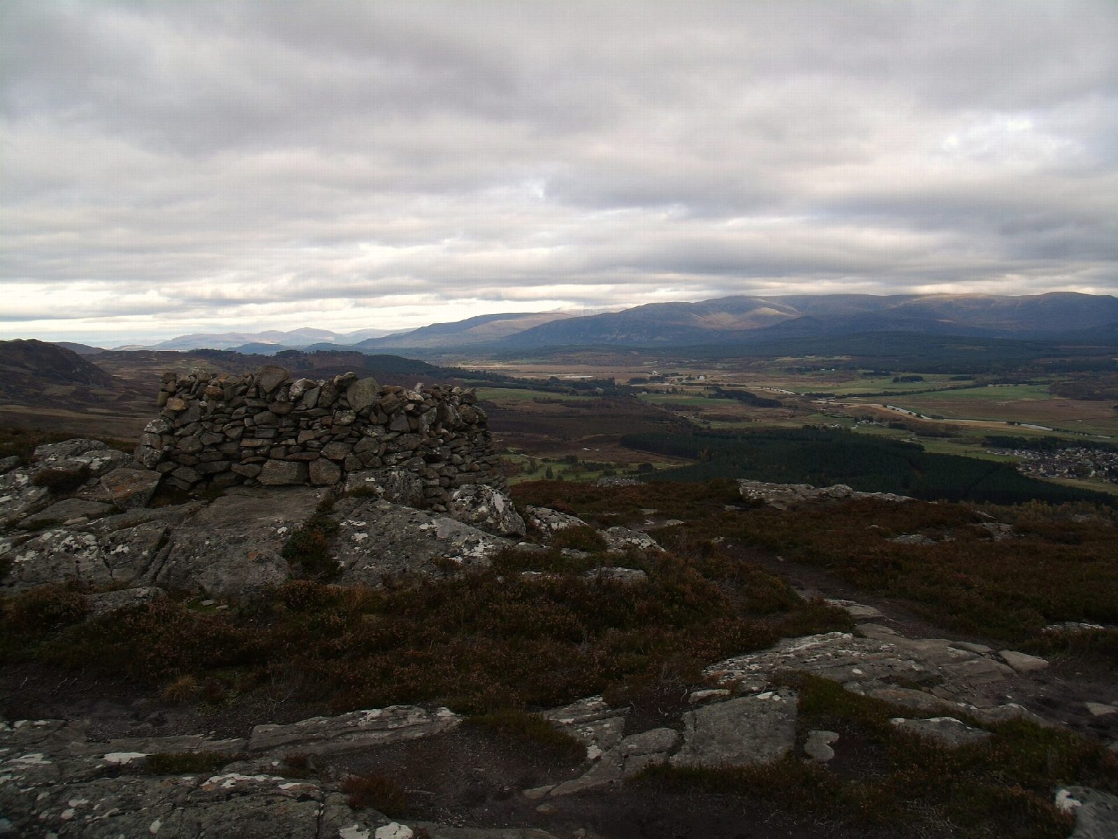
The walk starts from the Ardvonie car park in the centre of Kingussie, off Gynack Road. It follows West Terrace out of the town, then waymarked paths up through the woods and across the heather to the summit cairn of Creag Bheag, and along the ridge past stone shelters with seats. The descent is steep, past the ruined township of Toman an t-Seòmair on the golf course, to the Gynack Burn; from there the route loops through the Tom Baraidh woods and returns by Kerrow to the town.
It is 6.8 km (4.2 miles) with 274 m (900 ft) of ascent; allow about 2½ hours. The grade is Easy by time, but the descent is steep and rocky.
From the ridge there are views over Kingussie and Badenoch and down to Loch Gynack, backed by the rolling Monadh Liath. Rock-climbers use the crag below the summit. The Tom Baraidh pinewood is a good place to see red squirrels if you keep quiet.
The route is waymarked throughout, joining up the town's Creag Bheag, West Terrace and Tom Baraidh walks.
Route drawn by Global Adventurer along OpenStreetMap paths (© OpenStreetMap contributors, ODbL), with figures worked out from it. Check the forecast and the ground on the day: paths change.
Good to know
- A rocky little hill above Kingussie with a summit cairn and views over Badenoch
- Stone shelters with seats along the ridge
- Views down to Loch Gynack and across to the Monadh Liath
- Back through the Tom Baraidh pinewood, good for red squirrels
Summits on the way
- Creag Bheag 487 m
Getting there
Start: Ardvonie car park, Kingussie · Free parking. 57.08078, -4.05439
By train: Kingussie station is 0.3 km from the start.
Places to stay nearby
Rooms in and around Ardvonie car park: Booking.com → Expedia →
Affiliate links: if you book, Global Adventurer earns a small commission at no cost to you.
Paths change, and the weather decides the day. The line and figures come from OpenStreetMap and our own checks; take a map, check the forecast, and turn back if it isn't right.

