Line © OpenStreetMap contributors (ODbL), checked by Global Adventurer.
The walk
The walk starts from the car park at the valley station of the Schauinsland cable car, at the edge of Horben and about 20 minutes from the centre of Freiburg by tram and bus. It climbs through forest on paths and forest roads, crossing under the cable car and over the mountain road, to come out on the open pastures near the top station. A last short rise leads to the summit at 1,284 m and its wooden viewing tower. Return the same way.
It is 12.1 km there and back with 800 m of ascent; allow about 6 hours. The grade is Hard, for the long, sustained climb: the ground itself is easy, half on forest tracks and half on paths.
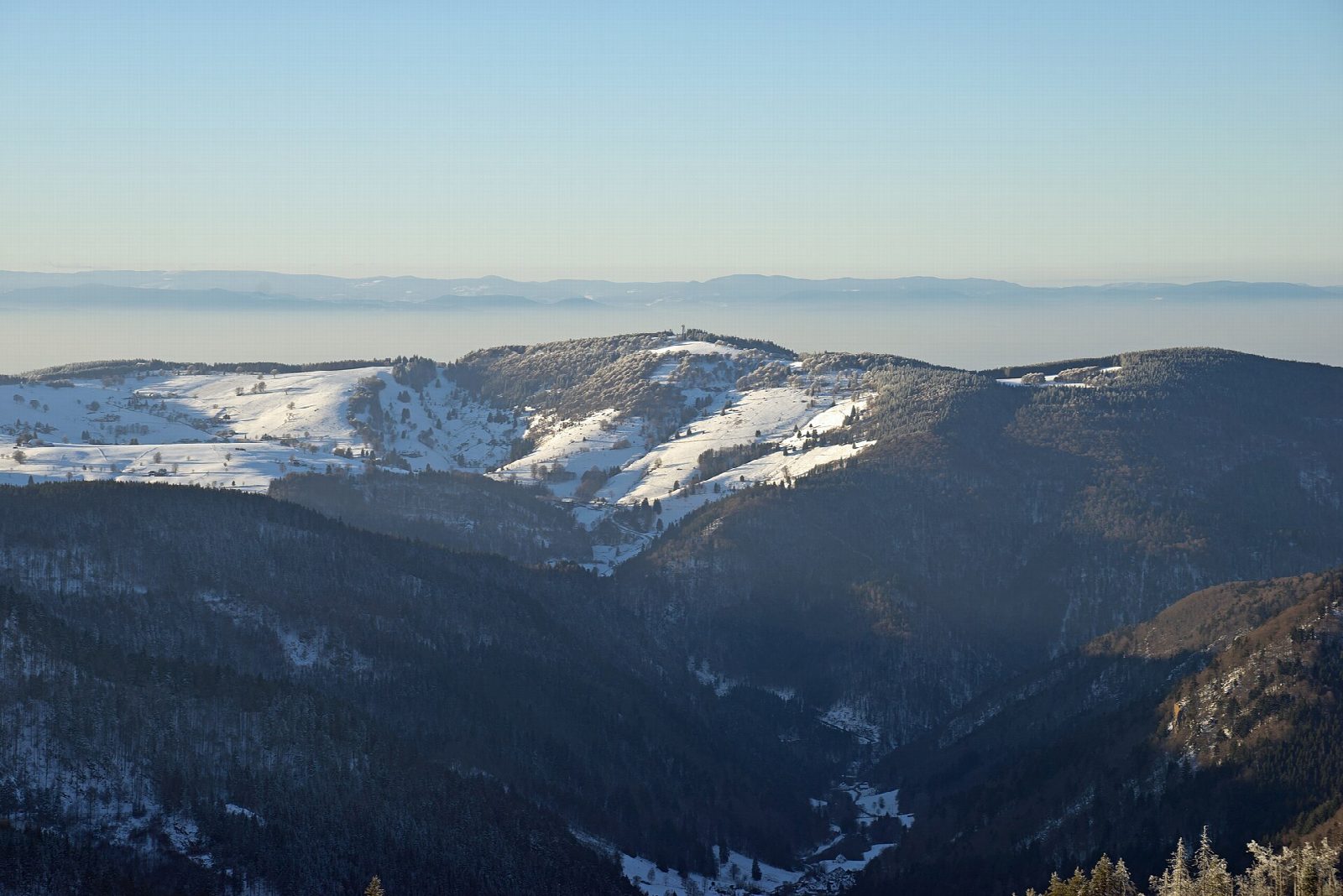
From the tower the view runs over the Rhine plain to the Vosges, across the Black Forest to the Feldberg and, on a clear day, to the Alps.
The cable car runs every day from 9 am and is the usual way down for those who have had enough: a single cost €12 in 2026. In winter the upper paths are under snow and ice. Parking at the valley station is free for 30 minutes and then €2 for the day. From Freiburg take tram 2 to Günterstal and bus 21 to the valley station.
Route drawn by Global Adventurer along OpenStreetMap paths (© OpenStreetMap contributors, ODbL), with figures worked out from it. Check the forecast and the ground on the day: paths change.
Good to know
- Freiburg's own mountain, 1,284 m, with a wooden viewing tower on the top
- A climb of about 800 m through forest from the edge of the city
- The Schauinslandbahn gondola runs from the start to just below the summit
- Tram 2 to Günterstal and bus 21 reach the valley station
Summits on the way
- Schauinsland 1,284 m
Getting there
Start: Schauinslandbahn valley station car park · Free parking. 47.93676, 7.86519
Places to stay nearby
Rooms in and around Black Forest: Booking.com → Expedia →
Affiliate links: if you book, Global Adventurer earns a small commission at no cost to you.
Paths change, and the weather decides the day. The line and figures come from OpenStreetMap and our own checks; take a map, check the forecast, and turn back if it isn't right.
