Line © OpenStreetMap contributors (ODbL), checked by Global Adventurer.
The walk
The walk starts from the pay car park at the valley station of the Belchen cable car at Multen, above Schönau. A path climbs beside the old ski run and crosses the former summit road to reach the Belchenhaus, just below the top. The ridge path leads on to the summit at 1,414 m. The way down follows the edge of the trees to the head of the Krinne path, drops steeply to the Krinne saddle, and comes back to Multen by forest paths and the old mountain road.
It is 6.4 km with 375 m of ascent; allow about 2¾ hours. The grade is Easy by time, but the descent to the Krinne is steep and rough and needs sure feet and proper boots.
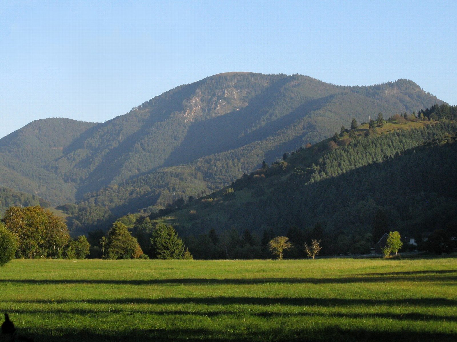
The Belchen has a bare, rounded top and one of the widest views in the Black Forest, over the Rhine plain to the Vosges and south to the Alps. The summit is a nature reserve: keep to the paths.
The road to the top is closed to cars. The gondola from Multen runs daily if you want to ride one way. This is not a winter walk: the top is exposed and the steep path holds snow and ice. Bus 7306 from Schönau stops at the valley station, a few times a day on weekdays.
Route drawn by Global Adventurer along OpenStreetMap paths (© OpenStreetMap contributors, ODbL), with figures worked out from it. Check the forecast and the ground on the day: paths change.
Good to know
- The Belchen, 1,414 m, has a bare rounded top and a view from the Vosges to the Alps
- The road to the summit is closed to cars; a gondola runs from Multen
- The way down to the Krinne saddle is steep and needs sure feet
- The summit is a nature reserve: keep to the paths
Summits on the way
- Belchen 1,414 m
Getting there
Start: Belchen cable car valley station, Multen · Pay and display. 47.82118, 7.85064
Places to stay nearby
Rooms in and around Belchen cable car valley station: Booking.com → Expedia →
Affiliate links: if you book, Global Adventurer earns a small commission at no cost to you.
Paths change, and the weather decides the day. The line and figures come from OpenStreetMap and our own checks; take a map, check the forecast, and turn back if it isn't right.
