Line © OpenStreetMap contributors (ODbL), checked by Global Adventurer.
The walk
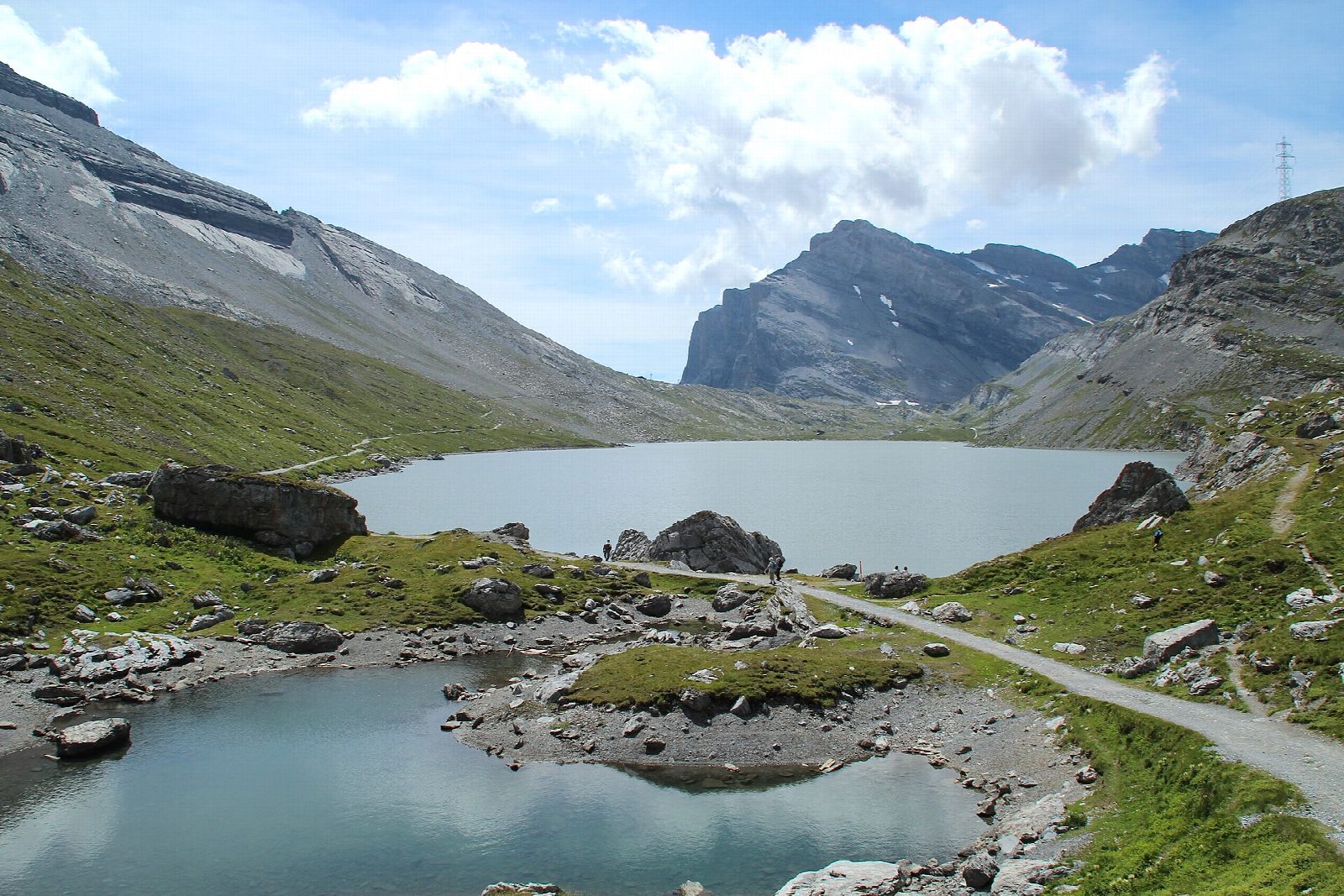
From the top of the Sunnbüel cable car above Kandersteg, a broad path crosses the open plain of the Spittelmatte and climbs gently to Berghotel Schwarenbach. It rises again to the Daubensee, a high lake in a bare stony basin, and follows its eastern shore south. A last short rise leads to the Gemmi Pass, on the border of Bern and Valais, where the ground falls away to Leukerbad and the Valais Alps line the horizon.
It is 9.3 km one way with 501 m of ascent and 96 m of descent; allow about 3 hours. The grade is Moderate: wide tracks and mountain paths with steady, gentle climbs.
In 2026 the Sunnbüel cable car runs until 1 November and the Gemmi cable car down to Leukerbad until 8 November. A steep path also leads down the cliff from the pass to Leukerbad, about 900 m lower, for those who would rather walk; it is not included here. Snow can fall at any time at this height, and in winter the way to the Daubensee is used as a winter walk.
Kandersteg is on the Bern to Brig railway; the Sunnbüel cable car is a short bus ride or walk from the station, with parking at the valley station.
Route drawn by Global Adventurer along OpenStreetMap paths (© OpenStreetMap contributors, ODbL), with figures worked out from it. Check the forecast and the ground on the day: paths change.
Good to know
- The old crossing of the Bernese Alps from Kandersteg to Leukerbad, over the open ground of the Spittelmatte to the inn at Schwarenbach
- Along the shore of the Daubensee to the Gemmi Pass, 2,314 m, on the border of Bern and Valais, looking south to the Valais Alps
- In 2026 the Sunnbüel cable car runs until 1 November and the Gemmi cable car down to Leukerbad until 8 November
Getting there
Start: Sunnbüel, top station of the cable car from Kandersteg. 46.45802, 7.65041
Places to stay nearby
Rooms in and around Sunnbüel: Booking.com → Expedia →
Affiliate links: if you book, Global Adventurer earns a small commission at no cost to you.
Paths change, and the weather decides the day. The line and figures come from OpenStreetMap and our own checks; take a map, check the forecast, and turn back if it isn't right.