Line © OpenStreetMap contributors (ODbL), checked by Global Adventurer.
The walk
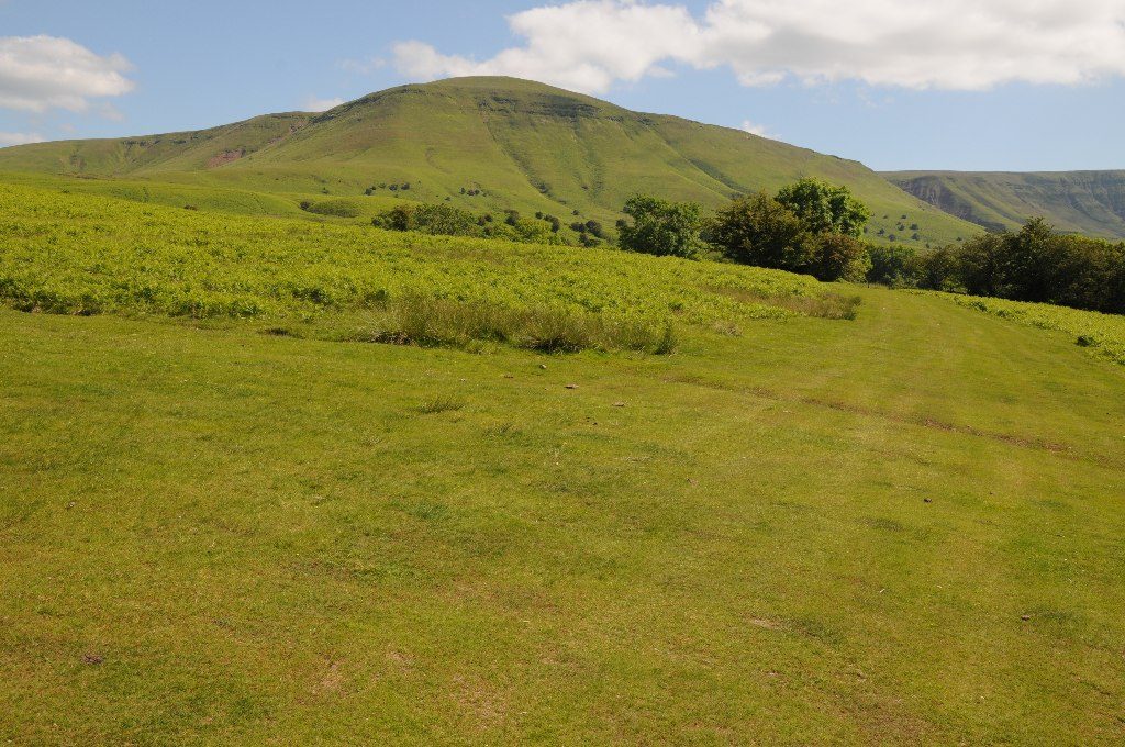
The walk starts from the car park on the common below Hay Bluff, by the stone circle. Cross the grass to the path that rises across the face of the scarp to the trig point on Hay Bluff, 677 m. Follow the edge south-west, gently downhill, to the road at the Gospel Pass, and climb steeply beyond it to the cairn on Twmpa, also called Lord Hereford's Knob, at 690 m. Carry on along the edge towards Rhos Dirion for about a kilometre, then take a path down to the right off the scarp. A lower path leads back north-east under the slopes of Twmpa to the Gospel Pass road, and a path beside the road returns across the common to the car park.
It is 9.7 km with 406 m of ascent; allow about 3½ hours. The grade is Moderate.
Both climbs onto the tops are steep, and the ground is boggy in places. The tops are open and exposed, and the paths under the scarp are less clear than those on the edge: take a map. The Gospel Pass road is a single track with passing places and can be blocked by snow in winter. Dogs must be on a short lead on the open hill from 1 March to 31 July.
Parking is free. There is no public transport.
Route drawn by Global Adventurer along OpenStreetMap paths (© OpenStreetMap contributors, ODbL), with figures worked out from it. Check the forecast and the ground on the day: paths change.
Good to know
- Hay Bluff, 677 m, is Penybegwn in Welsh
- Gospel Pass, 549 m, is the highest road pass in Wales
- Twmpa, 690 m, is also called Lord Hereford's Knob
- The Offa's Dyke Path climbs the north slope of Hay Bluff
Summits on the way
- Hay Bluff 677 m
- Twmpa 689 m
Getting there
Start: Hay Bluff car park · Free parking. 52.02925, -3.10985
Places to stay nearby
Rooms in and around Abergavenny: Booking.com → Expedia →
Affiliate links: if you book, Global Adventurer earns a small commission at no cost to you.
Paths change, and the weather decides the day. The line and figures come from OpenStreetMap and our own checks; take a map, check the forecast, and turn back if it isn't right.