Line © OpenStreetMap contributors (ODbL), checked by Global Adventurer.
The walk
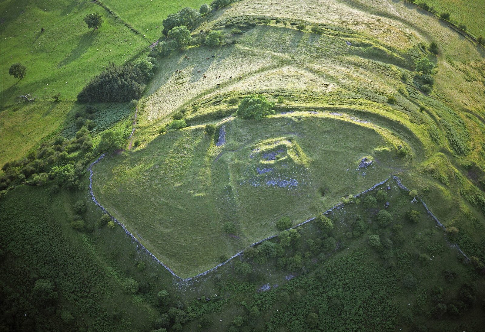
The walk makes a circuit from the car park at Pengenffordd. It climbs first to the hill fort of Castell Dinas (450 m), the highest castle site in England and Wales, then follows the Dragon's Back ridge of Y Grib (640 m) up onto the moor to Waun Fach (811 m), a broad grassy top and the highest point of the Black Mountains in Bannau Brycheiniog (the Brecon Beacons). The return is over Pen Trumau (707 m) and down the Rhiw Trumau path, with a stretch of road at the end.
It is 10.9 km with 646 m of ascent; allow about 5 hours. The grade is Moderate: the paths are clear and the climbing is steady, though Y Grib has short steep steps and the tops are high, open moorland.
Waun Fach's broad top has few landmarks in mist and the moor is exposed to the wind, so carry a map and compass and check the forecast. In winter snow lies on the tops.
The car park at Pengenffordd charges a fee. There are no mapped water sources on the route.
Route drawn by Global Adventurer along OpenStreetMap paths (© OpenStreetMap contributors, ODbL), with figures worked out from it. Check the forecast and the ground on the day: paths change.
Good to know
- The highest point of the Black Mountains, 811 m, a broad grassy top
- Up the Dragon's Back ridge of Y Grib from the hill fort of Castell Dinas
- Castell Dinas is the highest castle site in England and Wales
- Down over Pen Trumau and the Rhiw Trumau path
Summits on the way
- Castell Dinas 450 m
- Pen y Grib 480 m · passed close by
- Y Grib 640 m
- Pen y Manllywn 775 m · passed close by
- Waun Fach 811 m
- Pen Trumau 707 m
Getting there
Start: Pengenffordd · Pay and display. 51.95950, -3.20393
Places to stay nearby
Rooms in and around Ebbw Vale Town: Booking.com → Expedia →
Affiliate links: if you book, Global Adventurer earns a small commission at no cost to you.
Paths change, and the weather decides the day. The line and figures come from OpenStreetMap and our own checks; take a map, check the forecast, and turn back if it isn't right.
