Line © OpenStreetMap contributors (ODbL), checked by Global Adventurer.
The hike
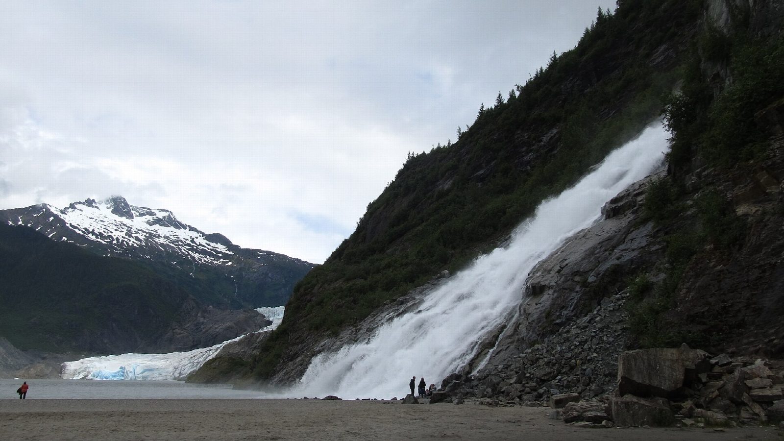
The walk starts at the Mendenhall Glacier Visitor Center, at the end of Glacier Spur Road, about 12 miles from downtown Juneau. From the car park, take the Photo Point Trail towards the lake and turn onto the Nugget Falls Trail, a wide, level path behind the lakeshore. It ends on a flat of sand and gravel at the foot of Nugget Falls, which drop 377 feet in two tiers into Mendenhall Lake, with the glacier beyond. Return the same way.
It is 1.9 miles (3.0 km) round trip with 170 feet (51 m) of climbing; allow about an hour. The grade is Easy: short, wide and almost level.
Black bears come to fish for salmon in Steep Creek, beside the visitor center, from July to September. Keep to the paths and viewing platforms, give the bears room, and carry no food or drink but water in summer.
Most summers, meltwater held in Suicide Basin breaks out under the glacier and floods the lake and the river below it; the flood of August 13, 2026 crested at 14.7 feet on the lake gauge. A flood can cover this path, so check for warnings in July, August and September. Parking is free. The visitor center charges $5 a person from May to September, and its hours are short outside the summer.
Route drawn by Global Adventurer along OpenStreetMap paths (© OpenStreetMap contributors, ODbL), with figures worked out from it. Check the forecast and the ground on the day: paths change.
Good to know
- A level walk along Mendenhall Lake to a tall waterfall beside the face of the glacier
- Black bears fish for salmon in Steep Creek, by the visitor center, in late summer
- Summer outburst floods from Suicide Basin can raise the lake and close the path
Getting there
Start: Mendenhall Glacier Visitor Center · Free parking. 58.41659, -134.54737
Places to stay nearby
Rooms in and around Alaska: Booking.com → Expedia →
Affiliate links: if you book, Global Adventurer earns a small commission at no cost to you.
Paths change, and the weather decides the day. The line and figures come from OpenStreetMap and our own checks; take a map, check the forecast, and turn back if it isn't right.

