Line © OpenStreetMap contributors (ODbL), checked by Global Adventurer.
The hike
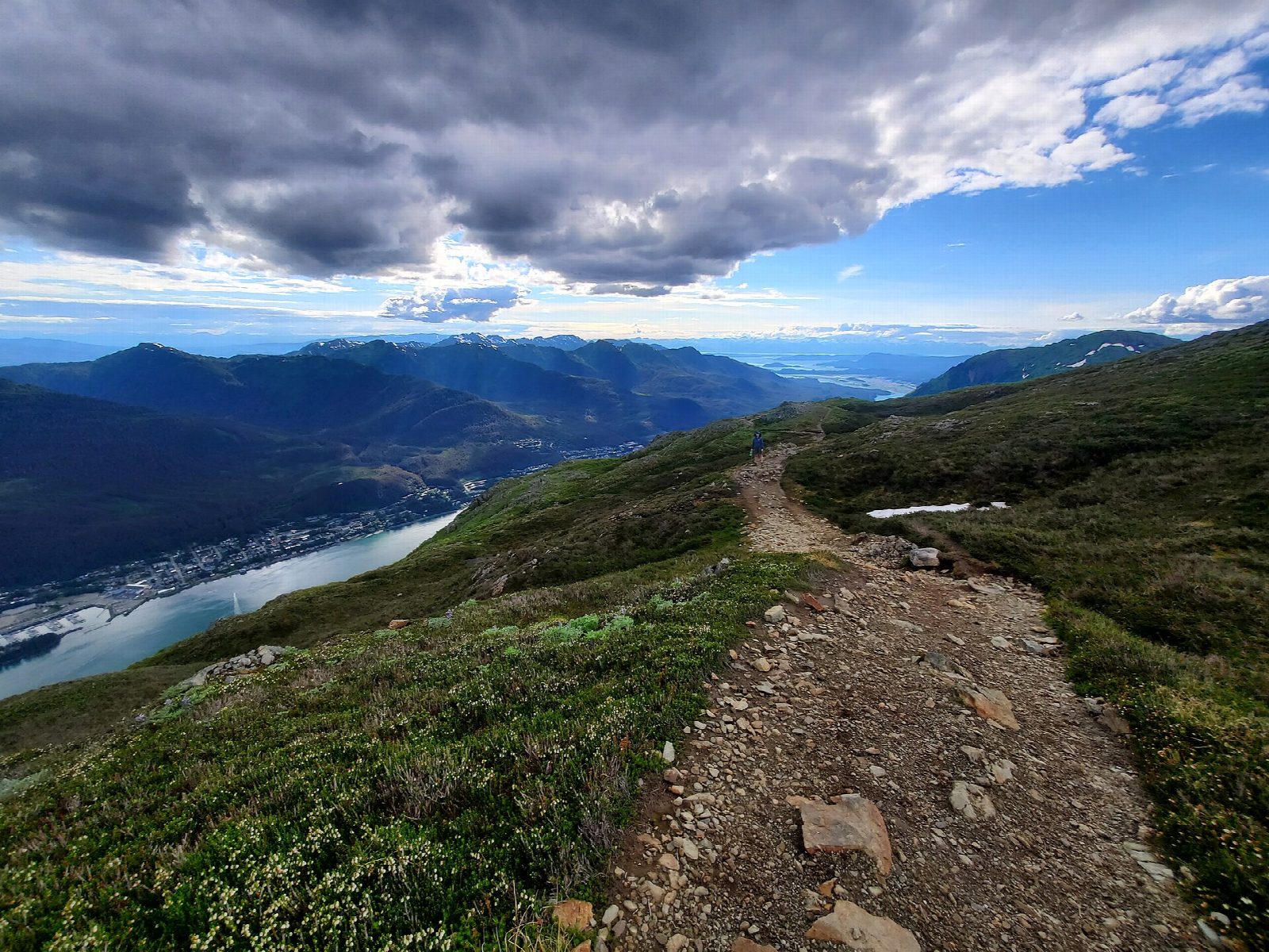
The walk starts at the Mount Roberts trailhead on Basin Road, just beyond the wooden trestle bridge and a short, steep walk from downtown Juneau; there is only a little roadside parking. The trail climbs in switchbacks through rainforest to the Mountain House, the top station of the tramway, at about 1,760 feet. Above it the trees end and the trail climbs the open ridge, with Gastineau Channel and Douglas Island far below. Our line ends on Gastineau Peak, at about 3,650 feet. Mount Roberts, 3,819 feet, is about a mile further along the ridge. Return the same way.
It is 6.3 miles (10.2 km) round trip with 3,330 feet (1,014 m) of climbing; allow about 6½ hours. The grade is Hard: a long, steep climb from near sea level to a high, open ridge.
The tramway has been closed since an accident in April 2026, and in late September it was not known when it would reopen, so plan to walk down as well as up. Snow lies on the ridge into summer, and cloud can come down fast: turn back if you cannot see the way. Black bears live on the mountain.
There is no fee. The old way up from Sixth Street is closed because the slope is unstable; use Basin Road. It rains often in Juneau, so carry waterproofs and warm clothes.
Route drawn by Global Adventurer along OpenStreetMap paths (© OpenStreetMap contributors, ODbL), with figures worked out from it. Check the forecast and the ground on the day: paths change.
Good to know
- Straight up from downtown Juneau through rainforest, past the tramway's Mountain House, to alpine ridges
- Gastineau Peak, 3,666 feet, looks down Gastineau Channel; Mount Roberts is further along the ridge
- Snow lingers on the ridge into summer and cloud can come down fast
Summits on the way
- Gastineau Peak 3,465 ft (1,056 m)
Getting there
Start: Mount Roberts Trailhead, Basin Road. 58.30690, -134.40440
Places to stay nearby
Rooms in and around Mount Roberts Trailhead: Booking.com → Expedia →
Affiliate links: if you book, Global Adventurer earns a small commission at no cost to you.
Paths change, and the weather decides the day. The line and figures come from OpenStreetMap and our own checks; take a map, check the forecast, and turn back if it isn't right.

