Line © OpenStreetMap contributors (ODbL), checked by Global Adventurer.
The hike
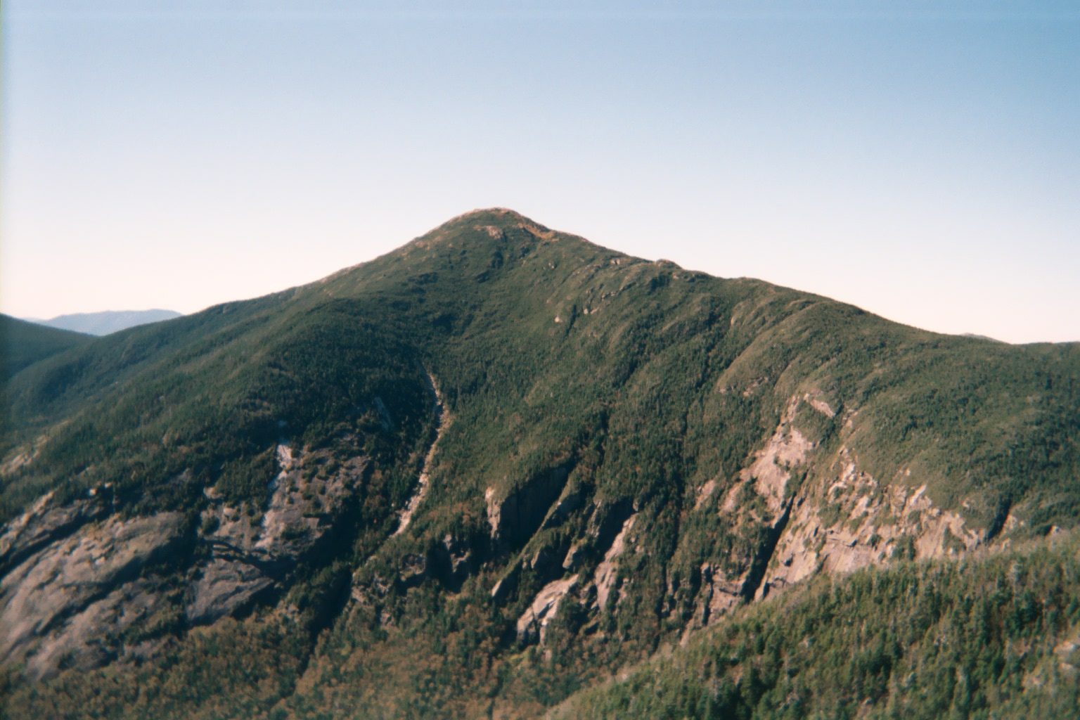
The walk starts at the High Peaks Information Center parking by the Adirondak Loj, at the end of Adirondack Loj Road. The Van Hoevenberg Trail rolls through the forest for 2.3 miles to the site of the old Marcy Dam. Beyond it the trail turns rocky and climbs more steeply beside Phelps Brook. At about 4.4 miles a short side path leads to the ledges of Indian Falls. The trail keeps climbing past two more junctions until the summit cone comes into view. The last 0.6 miles are above the trees, on bare rock marked by yellow blazes and cairns. Return the same way.
It is 14.7 miles (23.6 km) round trip with 3,200 feet (975 m) of climbing; allow about 8½ hours. The grade is Strenuous: a very long day, rough underfoot for most of it.
The summit stands at 5,344 feet. The weather there can change fast and is far colder and windier than at the start. Stay on the rock above the treeline: the alpine plants are among the rarest in the state. The brook crossings above Marcy Dam and at Indian Falls can be hard after heavy rain.
There is a fee to park, and the lots often fill early in summer and at weekends. Start at first light, carry a headlamp, and be ready to turn round if you are behind time.
Route drawn by Global Adventurer along OpenStreetMap paths (© OpenStreetMap contributors, ODbL), with figures worked out from it. Check the forecast and the ground on the day: paths change.
Good to know
- The highest point in New York State, at 5,344 ft
- A long day; the summit is above the trees and exposed to the weather
- The Adirondak Loj car park charges a daily fee and fills on weekends
Summits on the way
- Mount Marcy 5,344 ft (1,629 m)
Getting there
Start: Adirondak Loj trailhead, Heart Lake · Parking fee. 44.18351, -73.96406
Places to stay nearby
Rooms in and around Adirondak Loj trailhead: Booking.com → Expedia →
Affiliate links: if you book, Global Adventurer earns a small commission at no cost to you.
Paths change, and the weather decides the day. The line and figures come from OpenStreetMap and our own checks; take a map, check the forecast, and turn back if it isn't right.
