Line © OpenStreetMap contributors (ODbL), checked by Global Adventurer.
The hike
The walk starts at the High Peaks Information Center parking by the Adirondak Loj, at the end of Adirondack Loj Road. Take the Van Hoevenberg Trail towards Marcy Dam. At about 1 mile the Algonquin Trail leaves it, going straight on where the Marcy trail bears left. The trail climbs through the forest, easily at first and then over steep, slabby rock, passing MacIntyre Falls at 2.6 miles. At 3 miles a sign warns that you are about to leave the trees. At 3.2 miles the trail to Wright Peak goes left; keep right, up open rock, to the summit. Return the same way.
It is 7.9 miles (12.7 km) round trip with 2,970 feet (906 m) of climbing; allow about 6½ hours. The grade is Hard: steep and relentless in its upper half, with long slabs that are slippery when wet.
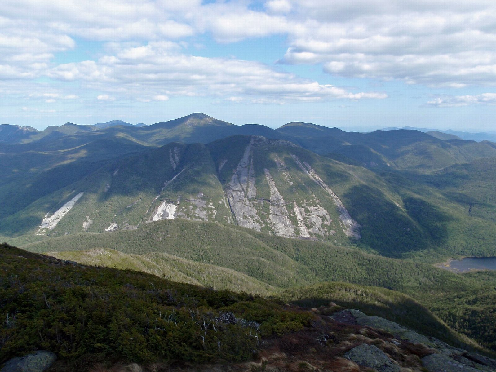
The summit, at 5,114 feet, is above the trees. The weather can become dangerous very fast, with high wind, cold and no visibility: turn back if it does. The alpine plants here are rare and fragile, so walk only on the rock.
There is a fee to park, and the lots are often full on summer days, so arrive early. In winter you need snowshoes, and spikes or crampons for the slabs.
Route drawn by Global Adventurer along OpenStreetMap paths (© OpenStreetMap contributors, ODbL), with figures worked out from it. Check the forecast and the ground on the day: paths change.
Good to know
- New York's second-highest peak, with rare alpine plants on top: keep to the rock
- Steep, slabby and relentless in its upper half
- Above the trees for the last stretch: turn back in storms or high wind
Summits on the way
- Algonquin Peak 5,115 ft (1,559 m)
Getting there
Start: Adirondak Loj trailhead, Heart Lake · Parking fee. 44.18351, -73.96406
Places to stay nearby
Rooms in and around Adirondak Loj trailhead: Booking.com → Expedia →
Affiliate links: if you book, Global Adventurer earns a small commission at no cost to you.
Paths change, and the weather decides the day. The line and figures come from OpenStreetMap and our own checks; take a map, check the forecast, and turn back if it isn't right.