Line © OpenStreetMap contributors (ODbL), checked by Global Adventurer.
The hike
The walk starts at the Acadia Mountain Trailhead parking on Route 102, on the west side of Mount Desert Island. Cross the road with care; the trail leaves from the far side. It rises quickly over open granite to a junction where the St. Sauveur Trail goes right; turn left on the Acadia Mountain Trail. After crossing the Man o' War Brook fire road the trail climbs through woods and over ledges, steeply in places, with a short scramble or two, to the bare summit. Return the same way.
It is 1.4 miles (2.3 km) round trip with 490 feet (150 m) of climbing; allow about an hour. The grade is Easy: short, but steep and rocky near the top.
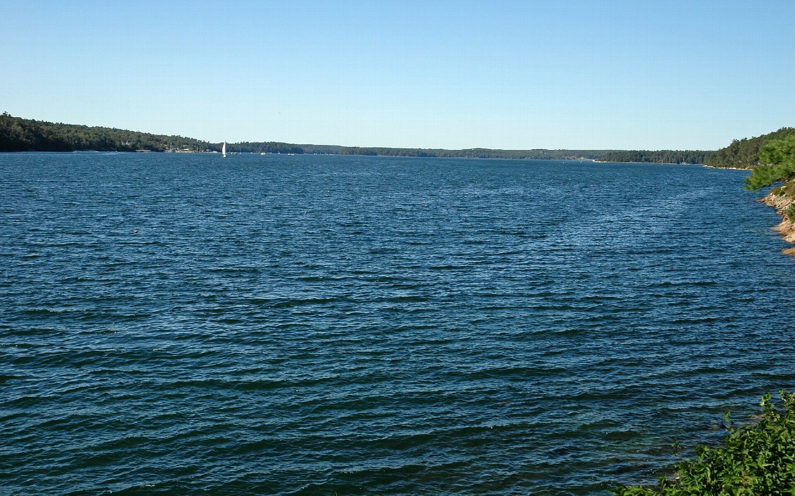
The summit looks over Somes Sound, the long inlet that nearly cuts the island in two, and out to the islands beyond. Acadia Mountain has two tops; the second, a little further on, has the better view of the sound. The trail continues steeply down the east face to Man o' War Brook, which makes a longer and much harder loop.
The roadside car park is small and fills on fine days. Dogs must be on a leash no longer than 6 feet. A park entrance pass is needed ($35 a vehicle for a week; non-US residents pay $100 each more without an annual pass).
Route drawn by Global Adventurer along OpenStreetMap paths (© OpenStreetMap contributors, ODbL), with figures worked out from it. Check the forecast and the ground on the day: paths change.
Good to know
- Views down Somes Sound, the fjard that nearly splits Mount Desert Island
- Short but rocky, with some steep scrambling
- On the quieter west side of the island; the roadside car park is small
Summits on the way
- Acadia Mountain 682 ft (208 m)
Getting there
Start: Acadia Mountain Trailhead, Route 102. 44.32164, -68.33286
Places to stay nearby
Rooms in and around Acadia Mountain Trailhead: Booking.com → Expedia →
Affiliate links: if you book, Global Adventurer earns a small commission at no cost to you.
Paths change, and the weather decides the day. The line and figures come from OpenStreetMap and our own checks; take a map, check the forecast, and turn back if it isn't right.

