Line © OpenStreetMap contributors (ODbL), checked by Global Adventurer.
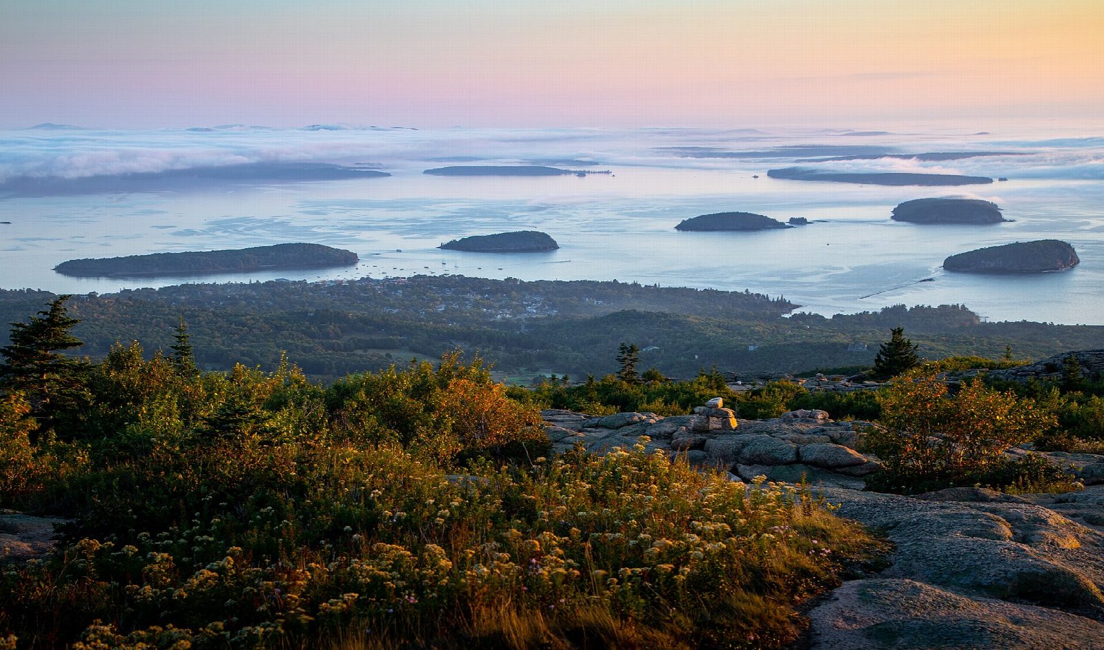
The hike
The walk starts at the Cadillac North Ridge Trailhead on the Park Loop Road, just past the start of the one-way section towards Sand Beach, where there is a small pull-off. Cross the road and climb gently up a granite slope into the woods. After about a mile the trail turns rocky, with a few flights of granite steps, and then grows steeper and more open. It runs beside the summit road for a short way: follow the blue blazes and cairns. Granite slopes lead to the top, by the summit parking lot. Return the same way.
It is 4.3 miles (7.0 km) round trip with 1,080 feet (328 m) of climbing; allow about 2½ hours. The grade is Easy: a steady climb, mostly on bare rock.
Most of the trail is exposed to wind, sun and fog, and the granite is slippery when wet.
The pull-off holds very few cars. The park suggests taking the fare-free Island Explorer bus to the North Ridge stop and walking the Kebo Brook Trail for 0.1 miles to the start. Hikers do not need the vehicle reservation that drivers need for the summit road from May 20 to October 25, 2026. A park entrance pass is needed ($35 a vehicle for a week; non-US residents pay $100 each more without an annual pass).
Route drawn by Global Adventurer along OpenStreetMap paths (© OpenStreetMap contributors, ODbL), with figures worked out from it. Check the forecast and the ground on the day: paths change.
Good to know
- The highest point on the US Atlantic coast, above Bar Harbor and Frenchman Bay
- Hikers need no reservation; driving the summit road does, late May to late October
- Open granite most of the way: exposed to wind and fog
Summits on the way
- Great Pond Hill 633 ft (193 m) · passed close by
- Cadillac Mountain 1,529 ft (466 m)
Getting there
Start: Cadillac North Ridge Trailhead, Park Loop Road. 44.37850, -68.22919
Places to stay nearby
Rooms in and around Cadillac North Ridge Trailhead: Booking.com → Expedia →
Affiliate links: if you book, Global Adventurer earns a small commission at no cost to you.
Paths change, and the weather decides the day. The line and figures come from OpenStreetMap and our own checks; take a map, check the forecast, and turn back if it isn't right.

