The line is the official route from Natural England's National Trails (England) data (Open Government Licence v3.0), with heights from a 30 m terrain model. Check for current diversions before a long trip. See the source.
Stages
A suggested split into 8 days of about 22 km (14 mi) each. The days are equal shares of the distance, not official stages. Each ends near the town or village named.
- Day 1 Winchester to an unnamed point 22 km · 22 km from the start
- Day 2 An unnamed point to South Harting 22 km · 44 km from the start
- Day 3 South Harting to Duncton 22 km · 66 km from the start
- Day 4 Duncton to Storrington 22 km · 88 km from the start
- Day 5 Storrington to Pyecombe 22 km · 109 km from the start
- Day 6 Pyecombe to Lewes 22 km · 131 km from the start
- Day 7 Lewes to Friston 22 km · 153 km from the start
- Day 8 Friston to Westdean 22 km · 175 km from the start
Summits on the way
- Beacon Hill 201 m · 18.2 km from the start
- Beacon Hill 242 m · 50 km from the start
- Linch Down 249 m · 56 km from the start
- Kithurst Hill 213 m · 83 km from the start
- Chanctonbury Ring 242 m · 90 km from the start
- Truleigh Hill 218 m · 101 km from the start
- Devil's Dyke 217 m · 105 km from the start
- Ditchling Beacon 248 m · 114 km from the start
- Firle Beacon 218 m · 140 km from the start
- Willingdon Hill 201 m · 168 km from the start
The listed hills and the highest of 45 tops within 300 m of the line. The app shows them all. Lists from the Database of British and Irish Hills; other summits from OpenStreetMap.
Start and finish
Start: near Winchester, Hampshire. 51.06090, -1.30795
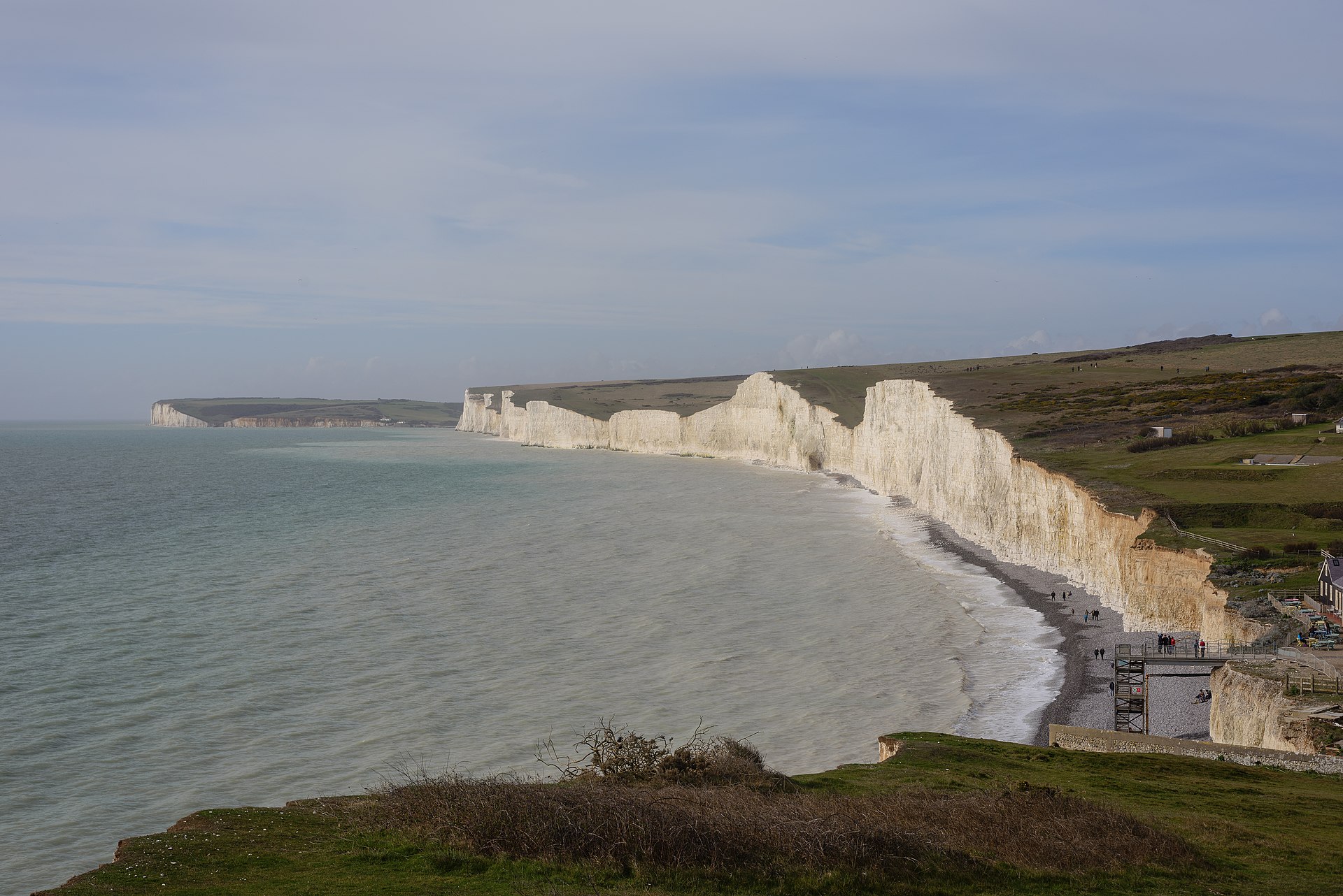
Finish: near Westdean, East Sussex. 50.80754, 0.15918
Places to stay
Rooms in the towns and villages along the way:
- Winchester, Hampshire · The start Booking.com → Expedia →
- South Harting, West Sussex · After day 2 Booking.com → Expedia →
- Duncton, West Sussex · After day 3 Booking.com → Expedia →
- Storrington, West Sussex · After day 4 Booking.com → Expedia →
- Pyecombe, West Sussex · After day 5 Booking.com → Expedia →
- Lewes, East Sussex · After day 6 Booking.com → Expedia →
- Friston, East Sussex · After day 7 Booking.com → Expedia →
- Westdean, East Sussex · The finish Booking.com → Expedia →
Affiliate links: if you book, Global Adventurer earns a small commission at no cost to you.
Paths change, and the weather decides the day. The line comes from the source named under the map and the heights from a terrain model, so treat the figures as a guide. Check for diversions before you go, take a map, check the forecast, and turn back if it isn't right.

