The line is OpenStreetMap's mapping of the route (© OpenStreetMap contributors, ODbL), via Waymarked Trails, with heights from a 30 m terrain model. Check the current official route before a long trip: diversions and permitted paths change. See the source.
The trail
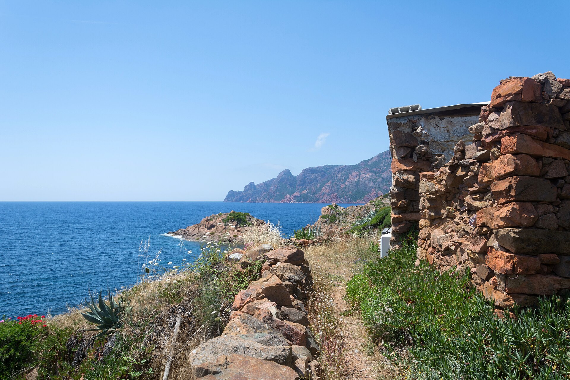
Ten days across the wild north-west of Corsica, from the Balagne village of Calenzana to Cargèse on the Gulf of Sagone, through chestnut woods, over Genoese bridges and along the red cliffs around Girolata, a village with no road to it. Every day ends at a gîte d'étape in a village, and these are best booked ahead; the trail is low enough to walk from spring into late autumn, but midsummer on the coast is very hot.
Stages
A suggested split into 10 days of about 12.1 km (7.5 mi). Each day ends at the town or village on the way nearest to an equal share of the distance, or at a hotel or hostel where there is none. These are not the official stages: check where you can stay before you book.
- Day 1 Calenzana to Bonifatu 11.4 km · 11.4 km from the start
- Day 2 Bonifatu to Tuarelli 16.2 km · 28 km from the start
- Day 3 Tuarelli to Galéria 11.3 km · 39 km from the start
- Day 4 Galéria to Girolata 13.1 km · 52 km from the start
- Day 5 Girolata to Curzu 10.0 km · 62 km from the start
- Day 6 Curzu to Serriera 7.0 km · 69 km from the start
- Day 7 Serriera to Ota 10.8 km · 80 km from the start
- Day 8 Ota to Marignana 12.1 km · 92 km from the start
- Day 9 Marignana to E Case 16.4 km · 108 km from the start
- Day 10 E Case to Cargèse 12.4 km · 121 km from the start
Summits on the way
- Punta Lucciu 741 m · 45 km from the start
- Punta di a Literniccia 784 m · 46 km from the start
- Capu Licchia 639 m · 48 km from the start
- Capu à Parata · 63 km from the start
Tops within 300 m of the line. Summits from OpenStreetMap.
Start and finish
Start: near Calenzana, Upper Corsica. 42.50815, 8.85485
Finish: near Cargèse, South Corsica. 42.13888, 8.60404
Places to stay
Rooms in the towns and villages along the way:
- Calenzana, Upper Corsica · The start Booking.com → Expedia →
- Bonifatu, Upper Corsica · After day 1 Booking.com → Expedia →
- Tuarelli, Upper Corsica · After day 2 Booking.com → Expedia →
- Galéria, Upper Corsica · After day 3 Booking.com → Expedia →
- Girolata, South Corsica · After day 4 Booking.com → Expedia →
- Curzu, South Corsica · After day 5 Booking.com → Expedia →
- Serriera, South Corsica · After day 6 Booking.com → Expedia →
- Ota, South Corsica · After day 7 Booking.com → Expedia →
- Marignana, South Corsica · After day 8 Booking.com → Expedia →
- E Case, South Corsica · After day 9 Booking.com → Expedia →
- Cargèse, South Corsica · The finish Booking.com → Expedia →
Affiliate links: if you book, Global Adventurer earns a small commission at no cost to you.
Paths change, and the weather decides the day. The line comes from the source named under the map and the heights from a terrain model, so treat the figures as a guide. Check for diversions before you go, take a map, check the forecast, and turn back if it isn't right.


