The line is OpenStreetMap's mapping of the route (© OpenStreetMap contributors, ODbL), via Waymarked Trails, with heights from a 30 m terrain model. Check the current official route before a long trip: diversions and permitted paths change. See the source.
The route
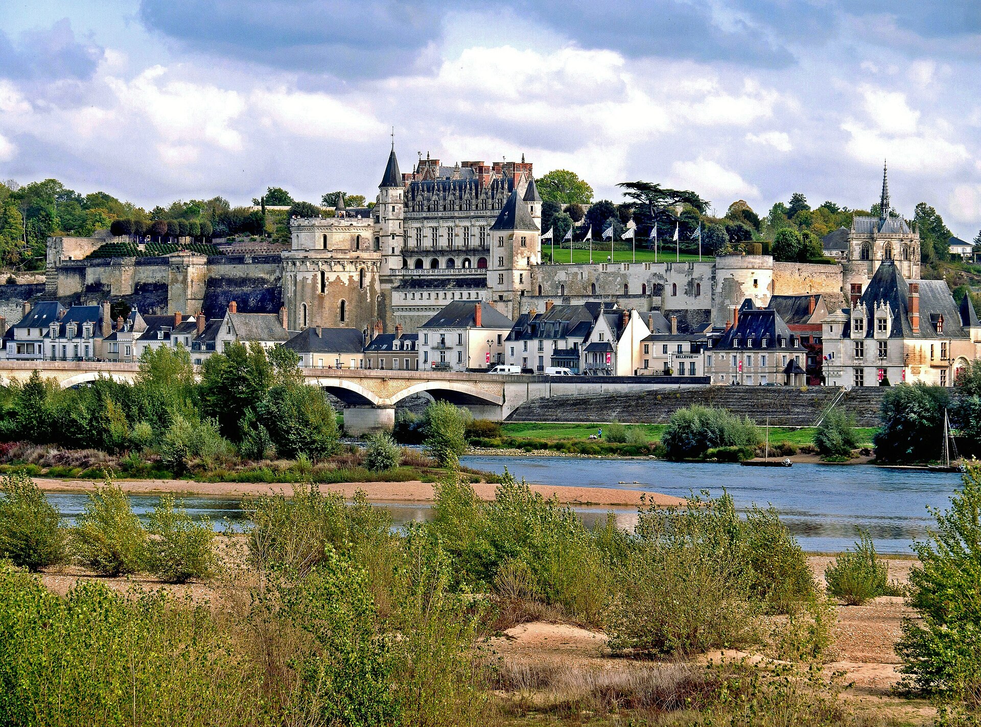
France's best-known cycle route follows the Loire to the Atlantic, from its meeting with the Allier at Cuffy, near Nevers, to Saint-Brevin-les-Pins at the river's mouth. On the way are Sancerre, Orléans, Blois, Amboise, Tours, Saumur, Angers and Nantes and the châteaux of the Loire Valley World Heritage Site, mostly on flood banks, greenways and quiet lanes with very little climbing. This is the main line, about 630 km; signed variants to châteaux away from the river add another 270 km.
Stages
A suggested split into 9 days of about 72 km (45 mi). Each day ends at the town or village on the way nearest to an equal share of the distance, or at a hotel or hostel where there is none. These are not the official stages: check where you can stay before you book.
- Day 1 Cuffy to Belleville-sur-Loire 75 km · 75 km from the start
- Day 2 Belleville-sur-Loire to Saint-Benoît-sur-Loire 70 km · 145 km from the start
- Day 3 Saint-Benoît-sur-Loire to Beaugency 70 km · 215 km from the start
- Day 4 Beaugency to Mosnes 65 km · 281 km from the start
- Day 5 Mosnes to Bréhémont 75 km · 356 km from the start
- Day 6 Bréhémont to Saint-Rémy-la-Varenne 76 km · 432 km from the start
- Day 7 Saint-Rémy-la-Varenne to Savennières 71 km · 503 km from the start
- Day 8 Savennières to Saint-Simon 72 km · 576 km from the start
- Day 9 Saint-Simon to Saint-Brevin-les-Pins 72 km · 648 km from the start
Start and finish
Start: near Cuffy, Cher. 46.96278, 3.05736
Finish: near Saint-Brevin-les-Pins, Loire-Atlantique. 47.26709, -2.16262
Places to stay
Rooms in the towns and villages along the way:
- Cuffy, Cher · The start Booking.com → Expedia →
- Belleville-sur-Loire, Cher · After day 1 Booking.com → Expedia →
- Saint-Benoît-sur-Loire, Loiret · After day 2 Booking.com → Expedia →
- Beaugency, Loiret · After day 3 Booking.com → Expedia →
- Mosnes, Indre-et-Loire · After day 4 Booking.com → Expedia →
- Bréhémont, Indre-et-Loire · After day 5 Booking.com → Expedia →
- Saint-Rémy-la-Varenne, Maine-et-Loire · After day 6 Booking.com → Expedia →
- Savennières, Maine-et-Loire · After day 7 Booking.com → Expedia →
- Saint-Simon, Loire-Atlantique · After day 8 Booking.com → Expedia →
- Saint-Brevin-les-Pins, Loire-Atlantique · The finish Booking.com → Expedia →
Affiliate links: if you book, Global Adventurer earns a small commission at no cost to you.
Roads and paths change, and surfaces vary with the weather. The line comes from the source named under the map and the heights from a terrain model, so treat the figures as a guide. Check for diversions before you go, ride to what you find, and give way to walkers and horses.


