The line is OpenStreetMap's mapping of the route (© OpenStreetMap contributors, ODbL), via Waymarked Trails, with heights from a 30 m terrain model. Check the current official route before a long trip: diversions and permitted paths change. See the source.
The route
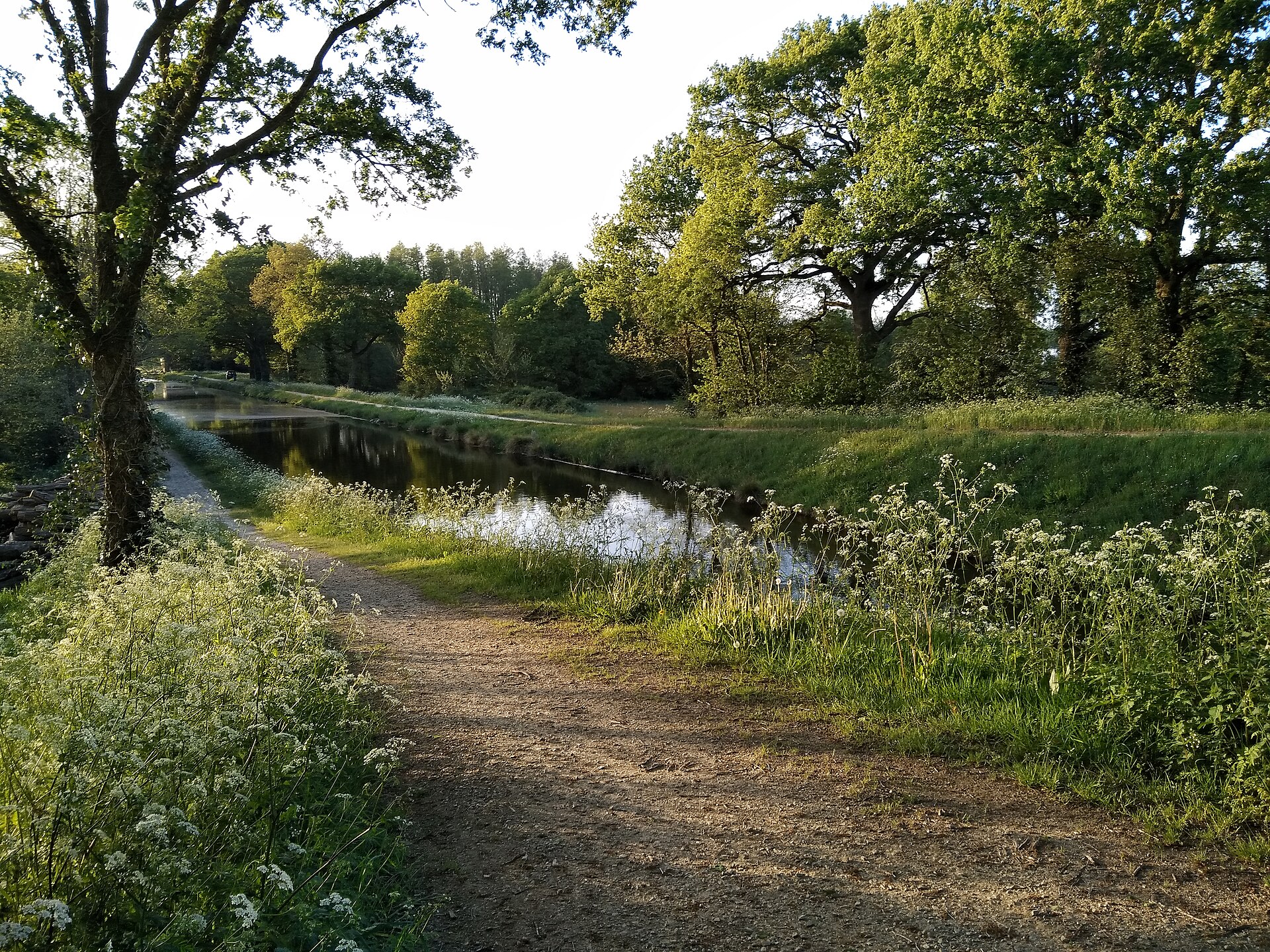
The French part of EuroVelo 1 runs about 1,300 km from Roscoff on the Channel coast of Brittany to Hendaye on the Spanish border. It crosses Brittany on the Nantes–Brest canal towpath by Carhaix, Pontivy and Redon to Nantes, then follows the Atlantic coast by Pornic, Les Sables-d'Olonne, La Rochelle and Royan, across the Gironde to the Médoc, and through the pine forests and long beaches of the Landes to the Basque coast. Much of it is on greenways, and south of Nantes it is mostly flat.
Stages
A suggested split into 18 days of about 70 km (44 mi). Each day ends at the town or village on the way nearest to an equal share of the distance, or at a hotel or hostel where there is none. These are not the official stages: check where you can stay before you book.
- Day 1 Roscoff to Poullaouen 67 km · 67 km from the start
- Day 2 Poullaouen to Caurel 71 km · 137 km from the start
- Day 3 Caurel to Josselin 75 km · 212 km from the start
- Day 4 Josselin to Quinsignac 65 km · 278 km from the start
- Day 5 Quinsignac to Sucé-sur-Erdre 80 km · 358 km from the start
- Day 6 Sucé-sur-Erdre to Corsept 69 km · 427 km from the start
- Day 7 Corsept to Les Moutiers-en-Retz 63 km · 490 km from the start
- Day 8 Les Moutiers-en-Retz to Notre-Dame-de-Monts 61 km · 550 km from the start
- Day 9 Notre-Dame-de-Monts to Port Bourgenay 76 km · 626 km from the start
- Day 10 Port Bourgenay to Jésus Maria 90 km · 716 km from the start
- Day 11 Jésus Maria to Tonnay-Charente 65 km · 781 km from the start
- Day 12 Tonnay-Charente to Saint-Palais-sur-Mer 70 km · 851 km from the start
- Day 13 Saint-Palais-sur-Mer to open country (no village near) 62 km · 914 km from the start
- Day 14 Open country to Arès 71 km · 984 km from the start
- Day 15 Arès to Ispe 74 km · 1,059 km from the start
- Day 16 Ispe to Les Pelindres 65 km · 1,124 km from the start
- Day 17 Les Pelindres to Bayonne 91 km · 1,215 km from the start
- Day 18 Bayonne to Hendaye 50 km · 1,265 km from the start
Start and finish
Start: near Roscoff, Metropolitan France. 48.72154, -3.96377
Finish: near Hendaye, Pyrénées-Atlantiques. 43.34421, -1.76118
Places to stay
Rooms in the towns and villages along the way:
- Roscoff, Metropolitan France · The start Booking.com → Expedia →
- Poullaouen, Finistère · After day 1 Booking.com → Expedia →
- Caurel, Côtes-d'Armor · After day 2 Booking.com → Expedia →
- Josselin, Morbihan · After day 3 Booking.com → Expedia →
- Quinsignac, Loire-Atlantique · After day 4 Booking.com → Expedia →
- Sucé-sur-Erdre, Loire-Atlantique · After day 5 Booking.com → Expedia →
- Corsept, Loire-Atlantique · After day 6 Booking.com → Expedia →
- Les Moutiers-en-Retz, Loire-Atlantique · After day 7 Booking.com → Expedia →
- Notre-Dame-de-Monts, Vendée · After day 8 Booking.com → Expedia →
- Port Bourgenay, Vendée · After day 9 Booking.com → Expedia →
- Jésus Maria, Charente-Maritime · After day 10 Booking.com → Expedia →
- Tonnay-Charente, Charente-Maritime · After day 11 Booking.com → Expedia →
- Saint-Palais-sur-Mer, Charente-Maritime · After day 12 Booking.com → Expedia →
- Arès, Gironde · After day 14 Booking.com → Expedia →
- Ispe, Landes · After day 15 Booking.com → Expedia →
- Les Pelindres, Landes · After day 16 Booking.com → Expedia →
- Bayonne, Pyrénées-Atlantiques · After day 17 Booking.com → Expedia →
- Hendaye, Pyrénées-Atlantiques · The finish Booking.com → Expedia →
Affiliate links: if you book, Global Adventurer earns a small commission at no cost to you.
Roads and paths change, and surfaces vary with the weather. The line comes from the source named under the map and the heights from a terrain model, so treat the figures as a guide. Check for diversions before you go, ride to what you find, and give way to walkers and horses.


