The line is OpenStreetMap's mapping of the route (© OpenStreetMap contributors, ODbL), via Waymarked Trails, with heights from a 30 m terrain model. Check the current official route before a long trip: diversions and permitted paths change. See the source.
The trail
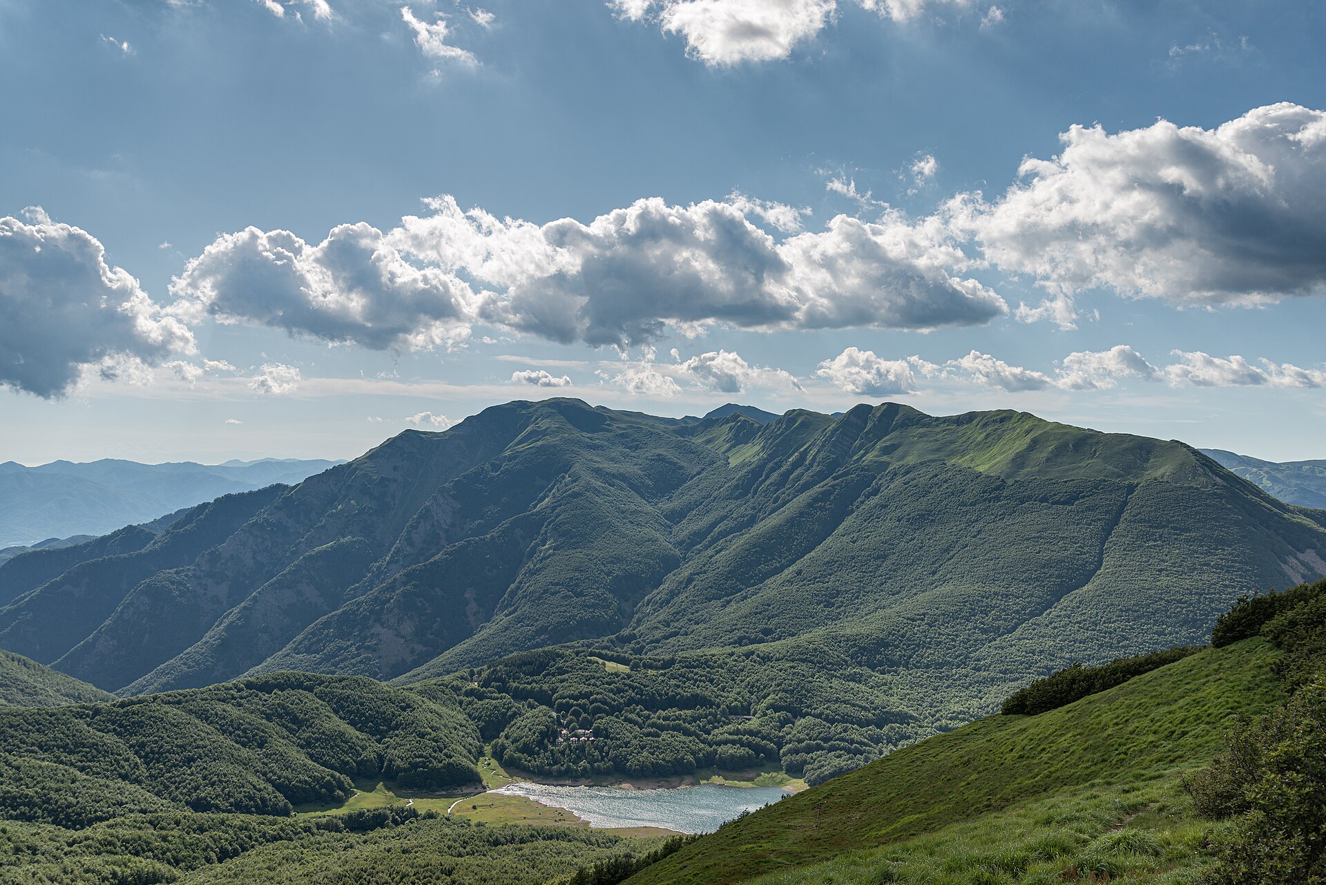
The main ridge of the northern Apennines for about 400 km, from Bocca Trabaria on the Umbria–Marche border to the Passo dei Due Santi above the Lunigiana, through the Casentino forests, the Mugello and the high grassy ridge between Tuscany and Emilia. Most stages end at a mountain refuge or an inn at a pass, best booked ahead; the ridge is at its best from June to September and holds snow into late spring.
Stages
A suggested split into 25 days of about 15.3 km (9.5 mi). Each day ends at the town or village on the way nearest to an equal share of the distance, or at a hotel or hostel where there is none. These are not the official stages: check where you can stay before you book.
- Day 1 Fonte Abeti to Passo di Viamaggio 18.0 km · 18.0 km from the start
- Day 2 Passo di Viamaggio to Caprese Michelangelo 18.1 km · 36 km from the start
- Day 3 Caprese Michelangelo to Chiusi della Verna 15.9 km · 52 km from the start
- Day 4 Chiusi della Verna to Badia Prataglia 24 km · 76 km from the start
- Day 5 Badia Prataglia to Passo la Calla 15.9 km · 92 km from the start
- Day 6 Passo la Calla to Passo del Muraglione 14.7 km · 107 km from the start
- Day 7 Passo del Muraglione to Casaglia 22 km · 129 km from the start
- Day 8 Casaglia to Passo del Giogo 27 km · 156 km from the start
- Day 9 Passo del Giogo to Passo della Futa 14.5 km · 171 km from the start
- Day 10 Passo della Futa to Montepiano 13.3 km · 184 km from the start
- Day 11 Montepiano to Rifugio Luigi Pacini 16.5 km · 200 km from the start
- Day 12 Rifugio Luigi Pacini to Pracchia 23 km · 224 km from the start
- Day 13 Pracchia to Rifugio Duca degli Abruzzi 14.3 km · 238 km from the start
- Day 14 Rifugio Duca degli Abruzzi to Abetone 15.7 km · 254 km from the start
- Day 15 Abetone to Lago Santo Modenese 13.5 km · 268 km from the start
- Day 16 Lago Santo Modenese to Passo delle Radici 13.6 km · 281 km from the start
- Day 17 Passo delle Radici to Rifugio Battisti 11.5 km · 293 km from the start
- Day 18 Rifugio Battisti to Passo della Pradarena 11.7 km · 304 km from the start
- Day 19 Passo della Pradarena to Passo del Cerreto 9.8 km · 314 km from the start
- Day 20 Passo del Cerreto to Rifugio Sarzana 8.6 km · 323 km from the start
- Day 21 Rifugio Sarzana to Pratospilla 8.8 km · 332 km from the start
- Day 22 Pratospilla to Rifugio Mariotti 11.2 km · 343 km from the start
- Day 23 Rifugio Mariotti to Passo della Cisa 15.8 km · 359 km from the start
- Day 24 Passo della Cisa to Passo del Brattello 12.6 km · 371 km from the start
- Day 25 Passo del Brattello to Passo dei Due Santi 11.7 km · 383 km from the start
Start and finish
Start: near Fonte Abeti, Pesaro e Urbino. 43.59512, 12.23559
Finish: near Passo dei Due Santi, Tuscany. 44.38863, 9.75274
Places to stay
Rooms in the towns and villages along the way:
- Fonte Abeti, Pesaro e Urbino · The start Booking.com → Expedia →
- Passo di Viamaggio, Arezzo · After day 1 Booking.com → Expedia →
- Caprese Michelangelo, Arezzo · After day 2 Booking.com → Expedia →
- Chiusi della Verna, Arezzo · After day 3 Booking.com → Expedia →
- Badia Prataglia, Arezzo · After day 4 Booking.com → Expedia →
- Passo la Calla, Forlì-Cesena · After day 5 Booking.com → Expedia →
- Passo del Muraglione, Florence · After day 6 Booking.com → Expedia →
- Casaglia, Florence · After day 7 Booking.com → Expedia →
- Passo del Giogo, Florence · After day 8 Booking.com → Expedia →
- Passo della Futa, Florence · After day 9 Booking.com → Expedia →
- Montepiano, Prato · After day 10 Booking.com → Expedia →
- Rifugio Luigi Pacini, Prato · After day 11 Booking.com → Expedia →
- Pracchia, Pistoia · After day 12 Booking.com → Expedia →
- Rifugio Duca degli Abruzzi, Modena · After day 13 Booking.com → Expedia →
- Abetone, Pistoia · After day 14 Booking.com → Expedia →
- Lago Santo Modenese, Lucca · After day 15 Booking.com → Expedia →
- Passo delle Radici, Modena · After day 16 Booking.com → Expedia →
- Rifugio Battisti, Reggio Emilia · After day 17 Booking.com → Expedia →
- Passo della Pradarena, Reggio Emilia · After day 18 Booking.com → Expedia →
- Passo del Cerreto, Tuscany · After day 19 Booking.com → Expedia →
- Rifugio Sarzana, Reggio Emilia · After day 20 Booking.com → Expedia →
- Pratospilla, Parma · After day 21 Booking.com → Expedia →
- Rifugio Mariotti, Parma · After day 22 Booking.com → Expedia →
- Passo della Cisa, Parma · After day 23 Booking.com → Expedia →
- Passo del Brattello, Tuscany · After day 24 Booking.com → Expedia →
- Passo dei Due Santi, Tuscany · The finish Booking.com → Expedia →
Affiliate links: if you book, Global Adventurer earns a small commission at no cost to you.
Paths change, and the weather decides the day. The line comes from the source named under the map and the heights from a terrain model, so treat the figures as a guide. Check for diversions before you go, take a map, check the forecast, and turn back if it isn't right.


