The line is OpenStreetMap's mapping of the route (© OpenStreetMap contributors, ODbL), via Waymarked Trails, with heights from a 30 m terrain model. Check the current official route before a long trip: diversions and permitted paths change. See the source.
The route
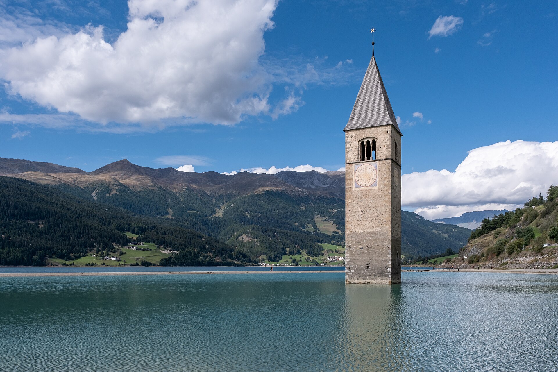
The cycle route along the line of the Roman road over the Alps, here its best-known stretch: from Füssen in Bavaria over the Fern Pass, down to the Inn and up its valley by Landeck to the Reschen Pass and the lake with its drowned church tower, then down through the orchards of the Vinschgau to Merano and along the Adige to Trento, about 325 km. The two passes make the first half hilly; from Reschen it is downhill or level on cycle paths almost all the way.
Stages
A suggested split into 5 days of about 65 km (40 mi). Each day ends at the town or village on the way nearest to an equal share of the distance, or at a hotel or hostel where there is none. These are not the official stages: check where you can stay before you book.
- Day 1 Füssen to Imst 72 km · 72 km from the start
- Day 2 Imst to Martina 67 km · 139 km from the start
- Day 3 Martina to Göflan - Covelano 61 km · 200 km from the start
- Day 4 Göflan - Covelano to Ponte d'Adige - Sigmundskron 61 km · 261 km from the start
- Day 5 Ponte d'Adige - Sigmundskron to Trento 61 km · 323 km from the start
Summits on the way
- Hutlersberg 921 m · 1.9 km from the start
- Rotwand 1,087 m · 3.9 km from the start
- Kratzer 891 m · 4.7 km from the start
- Stiglberg 927 m · 5.8 km from the start
- Tummebichl 996 m · 38 km from the start
Tops within 300 m of the line. Summits from OpenStreetMap.
Start and finish
Start: near Füssen, Landkreis Ostallgäu. 47.56973, 10.70108
Finish: near Trento, Provincia di Trento. 46.07086, 11.11623
Places to stay
Rooms in the towns and villages along the way:
- Füssen, Landkreis Ostallgäu · The start Booking.com → Expedia →
- Imst, Bezirk Imst · After day 1 Booking.com → Expedia →
- Martina, Engiadina Bassa/Val Müstair · After day 2 Booking.com → Expedia →
- Göflan - Covelano, South Tyrol · After day 3 Booking.com → Expedia →
- Ponte d'Adige - Sigmundskron, South Tyrol · After day 4 Booking.com → Expedia →
- Trento, Provincia di Trento · The finish Booking.com → Expedia →
Affiliate links: if you book, Global Adventurer earns a small commission at no cost to you.
Roads and paths change, and surfaces vary with the weather. The line comes from the source named under the map and the heights from a terrain model, so treat the figures as a guide. Check for diversions before you go, ride to what you find, and give way to walkers and horses.


