The line is OpenStreetMap's mapping of the route (© OpenStreetMap contributors, ODbL), via Waymarked Trails, with heights from a 30 m terrain model. Check the current official route before a long trip: diversions and permitted paths change. See the source.
The route
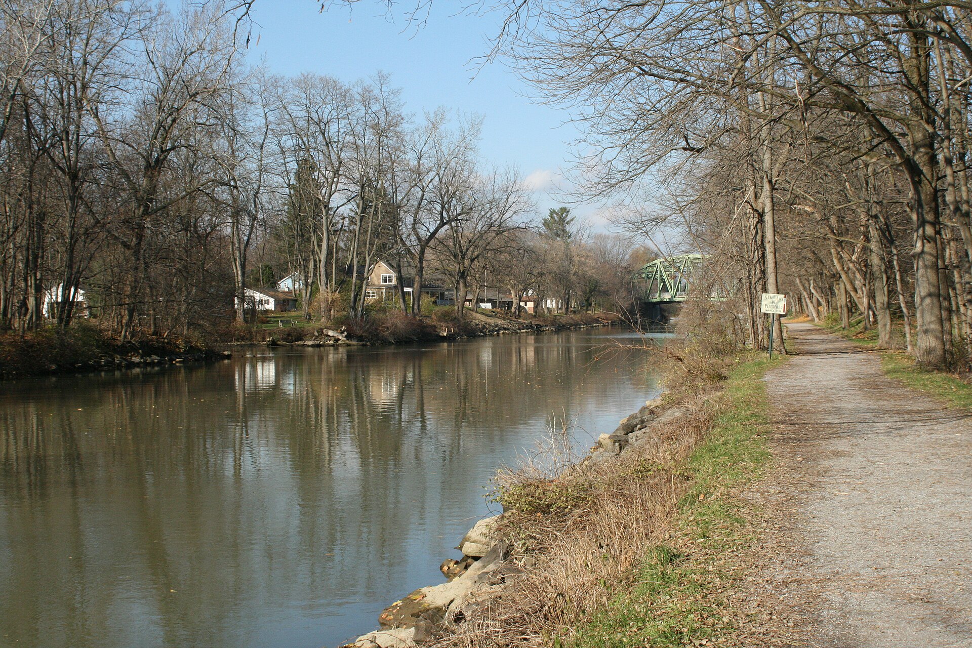
About 360 miles across upstate New York beside the Erie Canal, from Buffalo on Lake Erie to Albany on the Hudson, mostly on the old towpath and rail trails: past the flight of locks at Lockport, through the Rochester suburbs and Syracuse, then down the Mohawk valley by Rome, Little Falls and Schenectady. It is nearly flat and largely off-road on stone dust or asphalt, and Parks & Trails New York's annual eight-day ride follows it west to east.
Stages
A suggested split into 8 days of about 45 mi (73 km). Each day ends at the town or village on the way nearest to an equal share of the distance, or at a hotel or hostel where there is none. These are not the official stages: check where you can stay before you book.
- Day 1 Buffalo to Middleport 44 mi · 44 mi from the start
- Day 2 Middleport to South Greece 41 mi · 85 mi from the start
- Day 3 South Greece to Newark 42 mi · 128 mi from the start
- Day 4 Newark to Syracuse 61 mi · 188 mi from the start
- Day 5 Syracuse to Rome 45 mi · 233 mi from the start
- Day 6 Rome to Little Falls 39 mi · 272 mi from the start
- Day 7 Little Falls to Rotterdam Junction 51 mi · 323 mi from the start
- Day 8 Rotterdam Junction to Albany 38 mi · 360 mi from the start
Start and finish
Start: near Buffalo, Erie County. 42.88088, -78.88042
Finish: near Albany, Albany County. 42.64846, -73.74786
Places to stay
Rooms in the towns and villages along the way:
- Buffalo, Erie County · The start Booking.com → Expedia →
- Middleport, Niagara County · After day 1 Booking.com → Expedia →
- South Greece, Monroe County · After day 2 Booking.com → Expedia →
- Newark, Wayne County · After day 3 Booking.com → Expedia →
- Syracuse, Onondaga County · After day 4 Booking.com → Expedia →
- Rome, Oneida County · After day 5 Booking.com → Expedia →
- Little Falls, Herkimer County · After day 6 Booking.com → Expedia →
- Rotterdam Junction, Schenectady County · After day 7 Booking.com → Expedia →
- Albany, Albany County · The finish Booking.com → Expedia →
Affiliate links: if you book, Global Adventurer earns a small commission at no cost to you.
Roads and paths change, and surfaces vary with the weather. The line comes from the source named under the map and the heights from a terrain model, so treat the figures as a guide. Check for diversions before you go, ride to what you find, and give way to walkers and horses.


