The line is OpenStreetMap's mapping of the route (© OpenStreetMap contributors, ODbL), via Waymarked Trails, with heights from a 30 m terrain model. Check the current official route before a long trip: diversions and permitted paths change. See the source.
The route
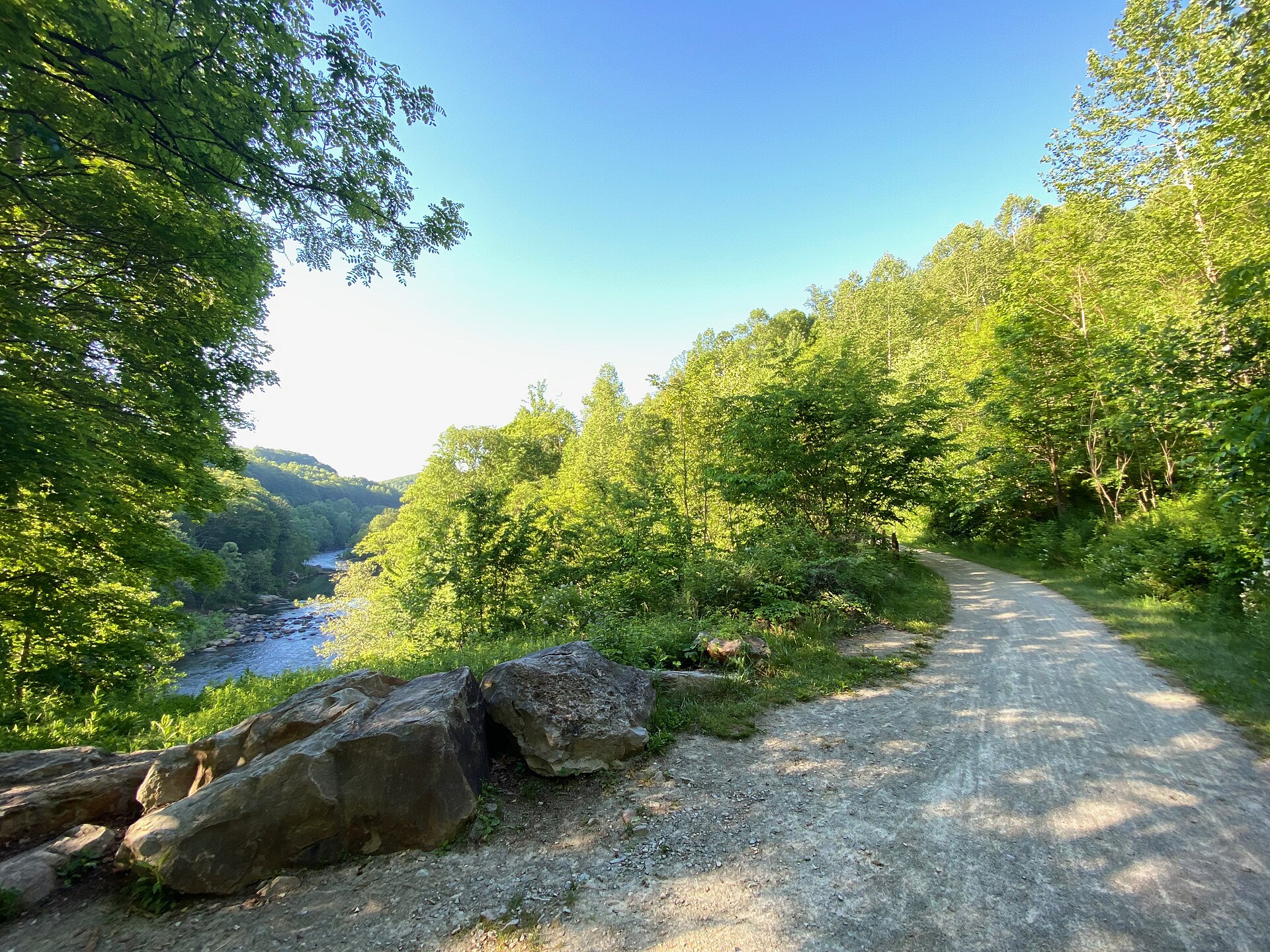
Two linked trails make a 335-mile, almost entirely traffic-free ride from Pittsburgh to Washington, DC. The Great Allegheny Passage follows old railway beds up the Youghiogheny valley by Ohiopyle and over the Eastern Continental Divide to Cumberland, Maryland; from there the C&O Canal towpath follows the Potomac past lockhouses, aqueducts and the Paw Paw Tunnel to Georgetown. The GAP is crushed limestone and the towpath dirt and gravel that can turn muddy after rain, with trail towns along the way and free hiker-biker campsites on the towpath.
Stages
A suggested split into 8 days of about 42 mi (67 km). Each day ends at the town or village on the way nearest to an equal share of the distance, or at a hotel or hostel where there is none. These are not the official stages: check where you can stay before you book.
- Day 1 Pittsburgh to Collinsburg 34 mi · 34 mi from the start
- Day 2 Collinsburg to Ohiopyle 43 mi · 77 mi from the start
- Day 3 Ohiopyle to Glade City 43 mi · 120 mi from the start
- Day 4 Glade City to Spring Gap 42 mi · 162 mi from the start
- Day 5 Spring Gap to Hancock 49 mi · 210 mi from the start
- Day 6 Hancock to Taylors Landing 44 mi · 254 mi from the start
- Day 7 Taylors Landing to Point of Rocks 33 mi · 287 mi from the start
- Day 8 Point of Rocks to Washington, DC 48 mi · 334 mi from the start
Start and finish
Start: near Pittsburgh, Allegheny County. 40.44189, -80.01324
Finish: near Washington, DC, District of Columbia. 38.90405, -77.05671
Places to stay
Rooms in the towns and villages along the way:
- Pittsburgh, Allegheny County · The start Booking.com → Expedia →
- Collinsburg, Westmoreland County · After day 1 Booking.com → Expedia →
- Ohiopyle, Fayette County · After day 2 Booking.com → Expedia →
- Glade City, Somerset County · After day 3 Booking.com → Expedia →
- Spring Gap, Allegany County · After day 4 Booking.com → Expedia →
- Hancock, Washington County · After day 5 Booking.com → Expedia →
- Taylors Landing, Washington County · After day 6 Booking.com → Expedia →
- Point of Rocks, Frederick County · After day 7 Booking.com → Expedia →
- Washington, DC, District of Columbia · The finish Booking.com → Expedia →
Affiliate links: if you book, Global Adventurer earns a small commission at no cost to you.
Roads and paths change, and surfaces vary with the weather. The line comes from the source named under the map and the heights from a terrain model, so treat the figures as a guide. Check for diversions before you go, ride to what you find, and give way to walkers and horses.


