The line is OpenStreetMap's mapping of the route (© OpenStreetMap contributors, ODbL), via Waymarked Trails, with heights from a 30 m terrain model. Check the current official route before a long trip: diversions and permitted paths change. Where the mapping has gaps (45 km), the line is drawn by our router along mapped paths: check those stretches against the waymarks. See the source.
The route
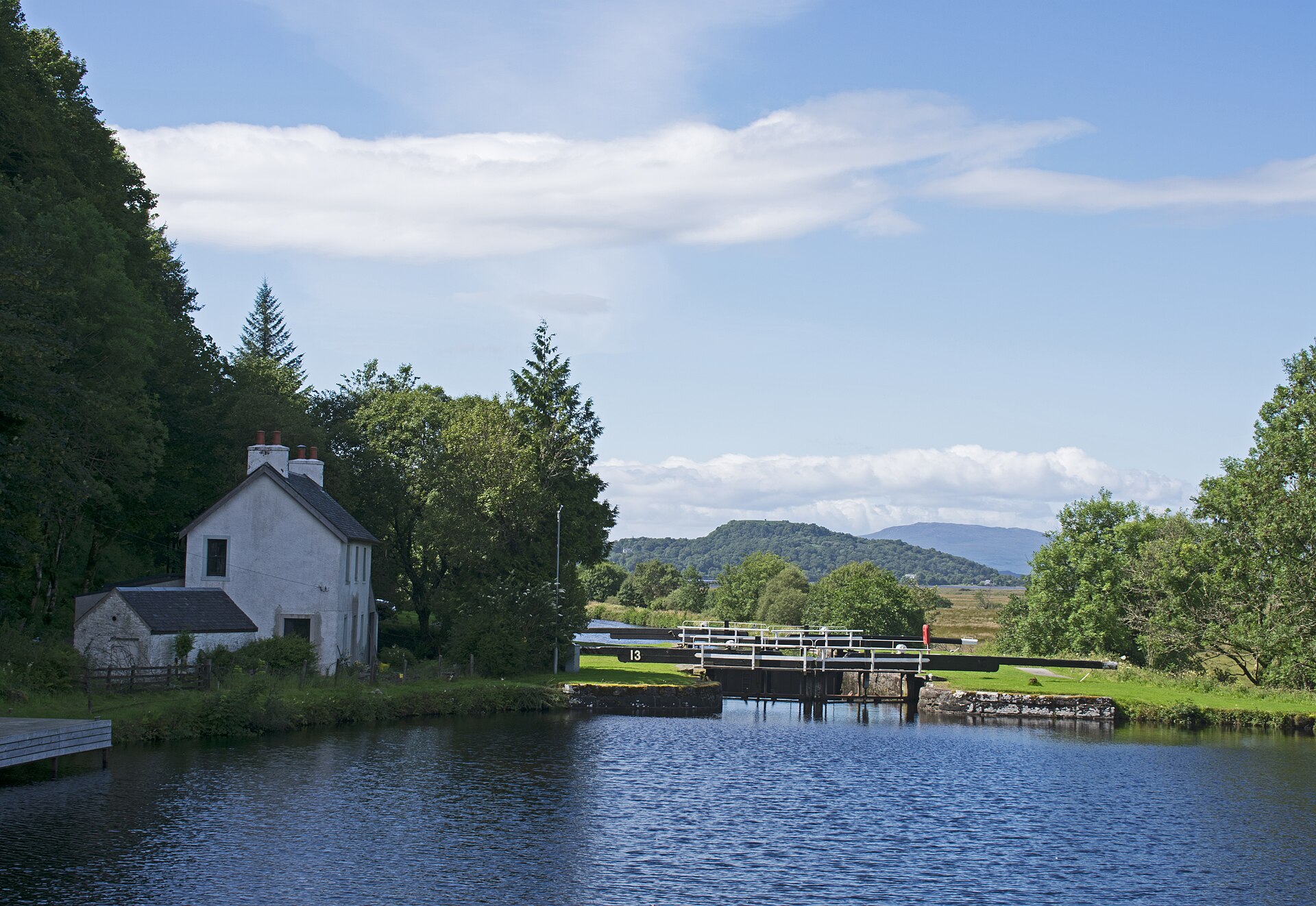
National Cycle Route 78 runs about 233 miles up Scotland's west coast from Campbeltown, near the foot of the Kintyre peninsula, to Inverness. The southern half follows Kintyre, the Crinan Canal and the lochs of Argyll to Oban on mostly quiet but hilly roads; from Oban it is largely traffic-free along Loch Linnhe to Fort William, then up the Great Glen by the Caledonian Canal and Loch Ness. Sustrans suggests about six days for a fit rider and up to eleven at an easy pace.
Stages
A suggested split into 6 days of about 63 km (39 mi). Each day ends at the town or village on the way nearest to an equal share of the distance, or at a hotel or hostel where there is none. These are not the official stages: check where you can stay before you book.
- Day 1 Campbeltown to West Tarbert 59 km · 59 km from the start
- Day 2 West Tarbert to Cairnbaan 58 km · 117 km from the start
- Day 3 Cairnbaan to Taynuilt 59 km · 176 km from the start
- Day 4 Taynuilt to Onich 68 km · 244 km from the start
- Day 5 Onich to Fort Augustus 75 km · 319 km from the start
- Day 6 Fort Augustus to Inverness 61 km · 380 km from the start
Start and finish
Start: near Campbeltown, Argyll and Bute. 55.42515, -5.60384
Finish: near Inverness, Highland. 57.47759, -4.22500
Places to stay
Rooms in the towns and villages along the way:
- Campbeltown, Argyll and Bute · The start Booking.com → Expedia →
- West Tarbert, Argyll and Bute · After day 1 Booking.com → Expedia →
- Cairnbaan, Argyll and Bute · After day 2 Booking.com → Expedia →
- Taynuilt, Argyll and Bute · After day 3 Booking.com → Expedia →
- Onich, Highland · After day 4 Booking.com → Expedia →
- Fort Augustus, Highland · After day 5 Booking.com → Expedia →
- Inverness, Highland · The finish Booking.com → Expedia →
Affiliate links: if you book, Global Adventurer earns a small commission at no cost to you.
Roads and paths change, and surfaces vary with the weather. The line comes from the source named under the map and the heights from a terrain model, so treat the figures as a guide. Check for diversions before you go, ride to what you find, and give way to walkers and horses.


