Line © OpenStreetMap contributors (ODbL), checked by Global Adventurer.
The hike
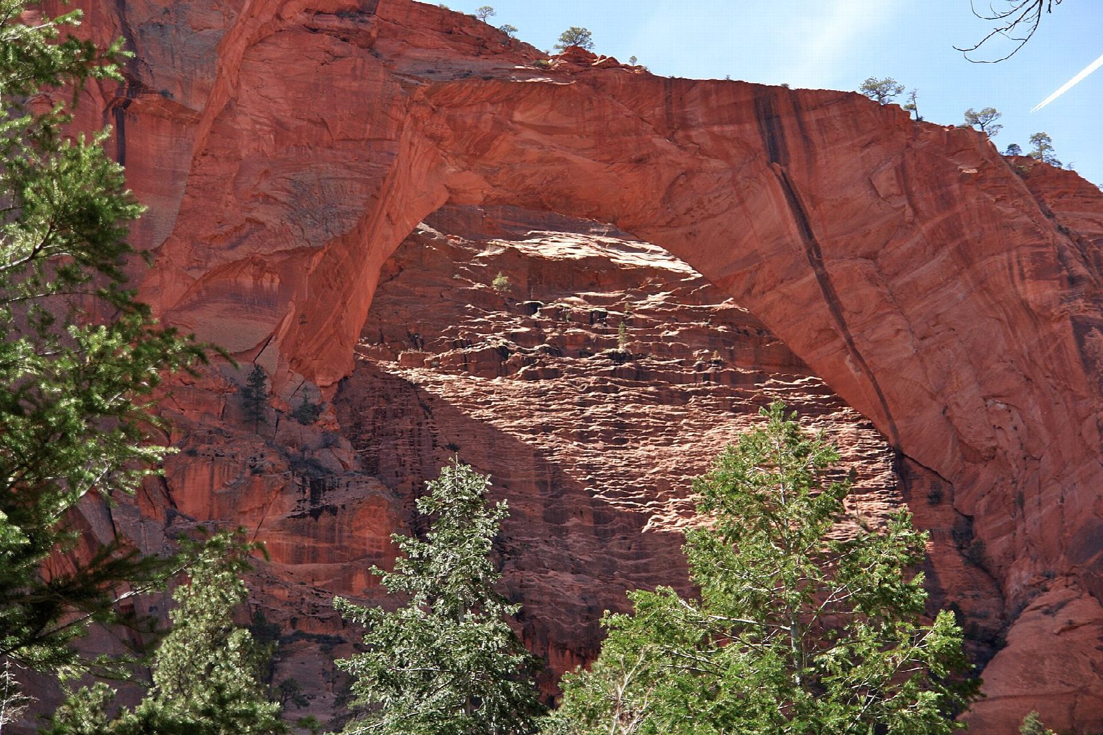
From Lee Pass on Kolob Canyons Road the La Verkin Creek Trail drops steadily beside Timber Creek, under the cliffs of the Kolob Canyons, then swings east past Gregory Butte and down to La Verkin Creek. It follows the creek upstream to the signed Kolob Arch Trail, which turns left up a side canyon for about half a mile to a viewpoint. The arch is high on the canyon wall above, and the trail ends here. Return the same way.
It is 14 miles (22.6 km) round trip with 1,400 feet (426 m) of climbing; allow about 7 hours. The grade is Hard: it is long, and the climb of about 1,000 feet back up to Lee Pass comes at the end of the day. The park allows seven to nine hours.
The park gives the arch a span of 287 feet. No permit is needed for a day hike; camping needs a wilderness permit. There is no water or restroom at Lee Pass, and parking is limited. The route is hot and exposed in summer, so start early. Toxic cyanobacteria are present in La Verkin and Timber creeks: do not drink from them, and filter water only where it comes straight from a spring. Groups are limited to 12 and pets are not allowed. Kolob Canyons Road closes at times in winter.
Route drawn by Global Adventurer along OpenStreetMap paths (© OpenStreetMap contributors, ODbL), with figures worked out from it. Check the forecast and the ground on the day: paths change.
Good to know
- One of the longest natural arches in the world, about 87 m across, high on a canyon wall
- Down Timber Creek to La Verkin Creek; the climb back up to Lee Pass comes at the end
- Hot and exposed in summer: little shade, and creek water must be treated
Getting there
Start: Lee Pass Trailhead. 37.45124, -113.19174
Places to stay nearby
Rooms in and around Zion: Booking.com → Expedia →
Affiliate links: if you book, Global Adventurer earns a small commission at no cost to you.
Paths change, and the weather decides the day. The line and figures come from OpenStreetMap and our own checks; take a map, check the forecast, and turn back if it isn't right.
