Line © OpenStreetMap contributors (ODbL), checked by Global Adventurer.
The hike
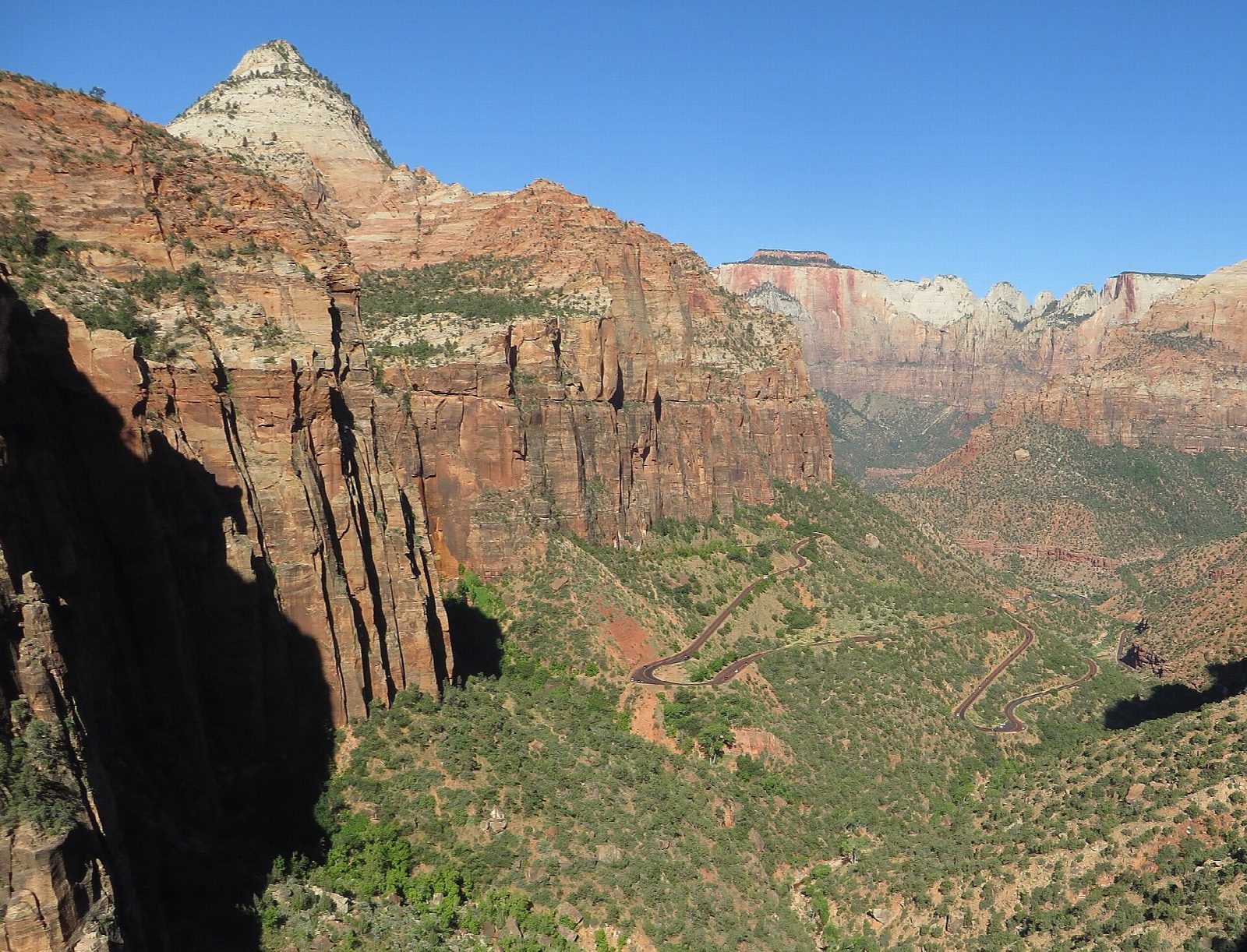
The trail starts at the small parking area on the Zion–Mount Carmel Highway just east of the long tunnel. It climbs a few rock steps, then follows ledges along the wall of Pine Creek canyon, passing under overhanging rock, to a fenced viewpoint that looks west down Pine Creek into lower Zion Canyon. Return the same way.
It is 0.9 miles (1.5 km) round trip with about 200 feet (60 m) of climbing; allow about half an hour, plus time at the view. The grade is Easy: it is short, though the trail is uneven, with high steps and low overhangs.
Long drop-offs line the route; most, but not all, are fenced, so keep children close. Pets are not allowed. The Zion Canyon shuttle does not come here, so you have to drive. Since June 7, 2026, vehicles longer than 35 feet 9 inches, wider than 7 feet 10 inches, taller than 11 feet 4 inches or heavier than 50,000 pounds may not use the highway between Canyon Junction and the East Entrance.
Parking is very limited: come early or late, and be ready to try more than once. There are pit toilets at the parking area.
Route drawn by Global Adventurer along OpenStreetMap paths (© OpenStreetMap contributors, ODbL), with figures worked out from it. Check the forecast and the ground on the day: paths change.
Good to know
- Starts just east of the Zion–Mount Carmel Tunnel
- A short walk along ledges to a view down Pine Creek into Zion Canyon
- The small car park fills early
Getting there
Start: Canyon Overlook Trailhead · Free parking. 37.21339, -112.94048
Places to stay nearby
Rooms in and around Zion: Booking.com → Expedia →
Affiliate links: if you book, Global Adventurer earns a small commission at no cost to you.
Paths change, and the weather decides the day. The line and figures come from OpenStreetMap and our own checks; take a map, check the forecast, and turn back if it isn't right.