Line © OpenStreetMap contributors (ODbL), checked by Global Adventurer.
The hike
The Stave Spring Trailhead is on the park's eastern boundary, reached by dirt roads through the Zion Ponderosa ranch. The Stave Spring Trail leads in half a mile to the East Rim Trail; turn left and, at Stave Spring, take the Deertrap Mountain Trail up onto the plateau. After about a mile the Cable Mountain Trail forks right and runs through open pine forest to the timber frame of the draw works on the canyon rim. Return the same way.
It is 7.9 miles (12.7 km) round trip with 920 feet (280 m) of climbing; allow about 4 hours. The grade is Moderate: there is one steady climb onto the plateau, but it is a long way with no water.
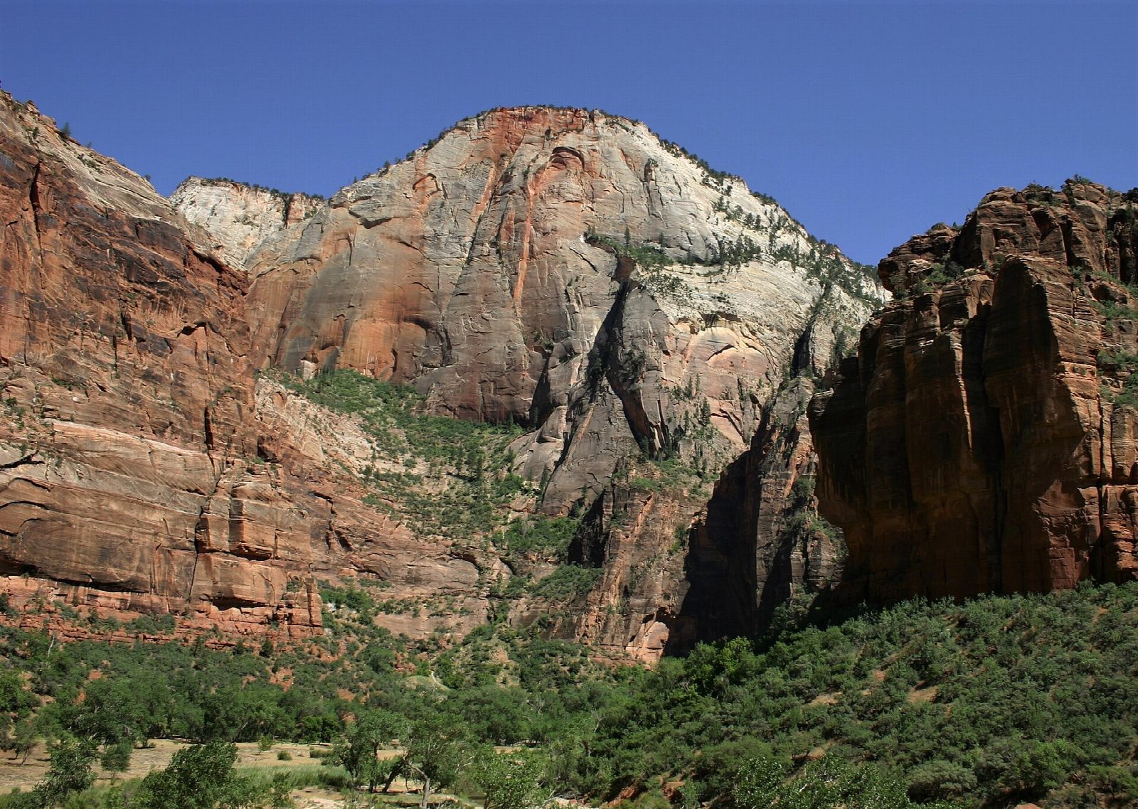
The frame is what is left of a cableway built by David Flanigan to lower sawn timber to the canyon floor; it carried its first loads in 1901 and was abandoned in 1927. Do not climb on it. The rim looks straight down on the Big Bend of the Virgin River. The access roads need high clearance or four-wheel drive and parking is very limited. There is no water at the trailhead.
The Zion-Mount Carmel Highway is closed to through traffic inside the park until further notice (alert of September 30, 2026), so come from the east, by US 89 and Mount Carmel Junction.
Route drawn by Global Adventurer along OpenStreetMap paths (© OpenStreetMap contributors, ODbL), with figures worked out from it. Check the forecast and the ground on the day: paths change.
Good to know
- Ends at the timber frame of a 1901 cableworks that lowered lumber to the canyon floor
- From the rim you look straight down on the Big Bend and Angels Landing
- Reached on dirt roads through Zion Ponderosa; a high-clearance car helps after rain
Summits on the way
- Cable Mountain 6,460 ft (1,969 m) · passed close by
Getting there
Start: Stave Spring Trailhead. 37.26766, -112.89942
Places to stay nearby
Rooms in and around Zion: Booking.com → Expedia →
Affiliate links: if you book, Global Adventurer earns a small commission at no cost to you.
Paths change, and the weather decides the day. The line and figures come from OpenStreetMap and our own checks; take a map, check the forecast, and turn back if it isn't right.

