Line © OpenStreetMap contributors (ODbL), checked by Global Adventurer.
The hike
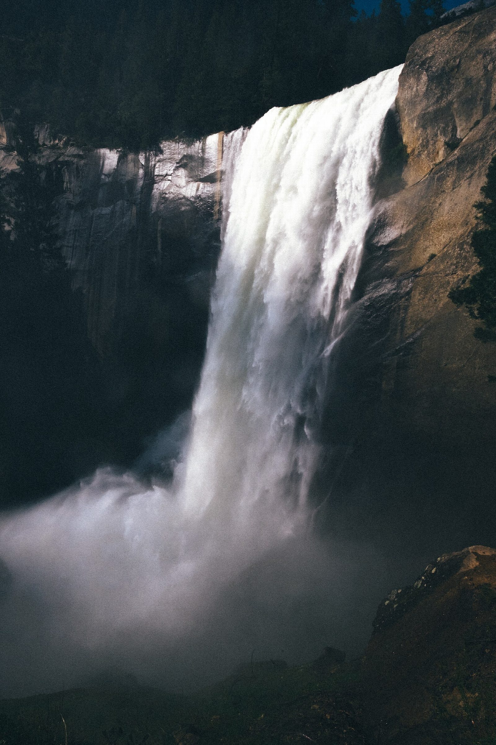
The walk starts at the Happy Isles Trailhead, just across the Merced River from shuttle stop 16; there is no parking here, so park at Curry Village, under a mile away. The trail follows the river up to the Vernal Fall footbridge, and the Mist Trail then climbs more than 600 granite steps beside Vernal Fall to its top, past Emerald Pool and on to the top of Nevada Fall. Cross the river there and return by the John Muir Trail past Clark Point, rejoining the outward trail above the footbridge.
The loop is 6.4 miles (10.3 km) with 2,060 feet (628 m) of climbing; allow about 4½ hours. The grade is Moderate: the distance is modest, but much of the climbing is on steep stone steps.
The steps beside Vernal Fall are slick with spray, especially in spring and early summer, and often crowded. Swimming in Emerald Pool or on the Silver Apron is illegal, and the current is deadly. Through October 2026, repair work closes the Mist Trail above the footbridge from 7 a.m. to 3:30 p.m., Monday to Thursday, except holidays; then use the John Muir Trail both ways. In winter, the lower Mist Trail and the John Muir Trail between Clark Point and Nevada Fall close.
Water and restrooms are at the shuttle stop and, from May to October, at the footbridge.
Route drawn by Global Adventurer along OpenStreetMap paths (© OpenStreetMap contributors, ODbL), with figures worked out from it. Check the forecast and the ground on the day: paths change.
Good to know
- Two of Yosemite's great waterfalls on the Merced River
- Granite steps beside Vernal Fall, wet with spray in spring and early summer
- Back down by the John Muir Trail past Clark Point
Getting there
Start: Happy Isles Trailhead. 37.73282, -119.55778
Places to stay nearby
Rooms in and around Yosemite: Booking.com → Expedia →
Affiliate links: if you book, Global Adventurer earns a small commission at no cost to you.
Paths change, and the weather decides the day. The line and figures come from OpenStreetMap and our own checks; take a map, check the forecast, and turn back if it isn't right.