Line © OpenStreetMap contributors (ODbL), checked by Global Adventurer.
The hike
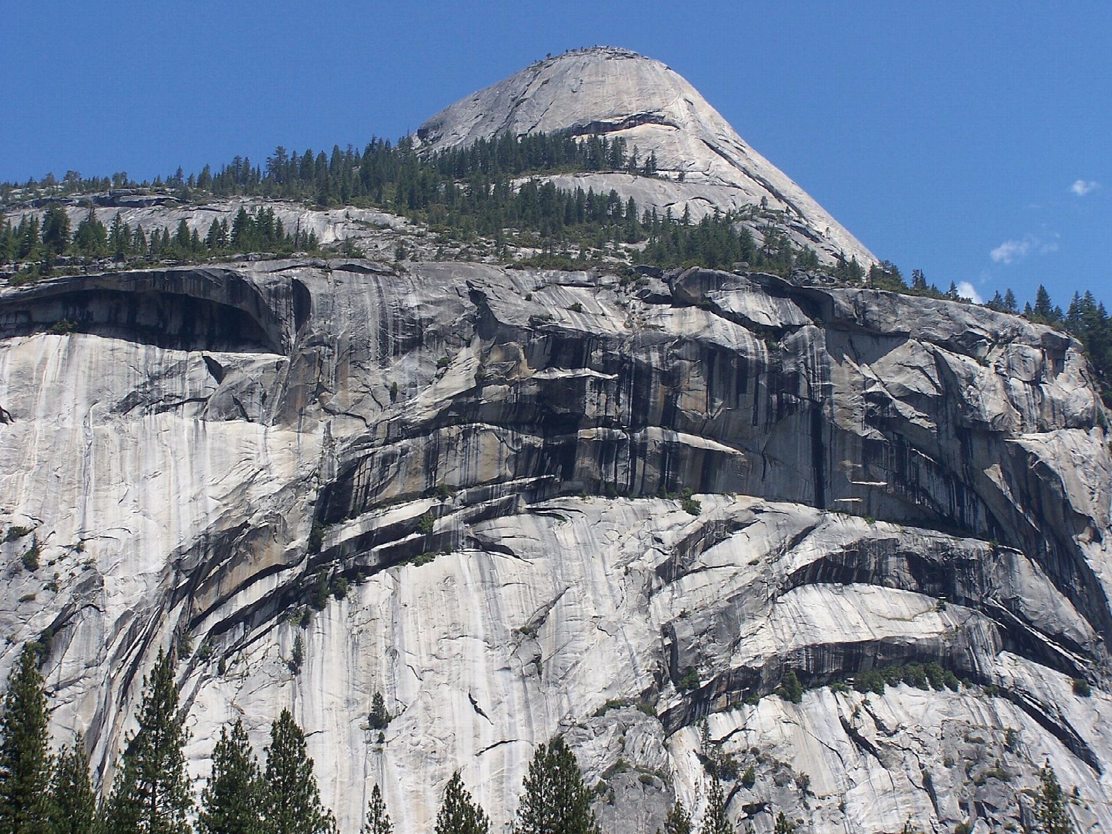
The walk starts at the Porcupine Creek Trailhead on Tioga Road. The trail drops through mixed conifer forest, crosses Porcupine Creek within the first mile, and passes a meadow on its way to a ridge. Here a short, steep spur climbs 0.3 miles to Indian Rock, a natural granite arch; it is not counted in the figures below. The main trail follows the ridge south, then goes down steep rock steps to the foot of North Dome and up onto its rounded summit. Half Dome's sheer face is straight across the canyon. Return the same way.
It is 8.6 miles (13.9 km) round trip with 1,360 feet (415 m) of climbing; allow about 4½ hours. The grade is Moderate: a good trail, steep and rocky near the dome.
North Dome is lower than the trailhead, so most of the climbing comes on the way back. There are sheer drops at the edge of the dome, and it is no place to be in a thunderstorm. Creeks may need fording in early summer; carry water. Pets and bicycles are not allowed. No permit is needed for a day hike.
Parking at the trailhead is limited; it has a vault toilet and food lockers. Tioga Road closes with the first big snow, usually in November, and reopens in late May or June. No overnight parking is allowed along it from October 15.
Route drawn by Global Adventurer along OpenStreetMap paths (© OpenStreetMap contributors, ODbL), with figures worked out from it. Check the forecast and the ground on the day: paths change.
Good to know
- One of the best views of Half Dome's sheer face, straight across Tenaya Canyon
- A short side trail leads to Indian Rock, one of Yosemite's few natural arches
- The dome sits below the ridge, so the walk back starts with a climb
Summits on the way
- North Dome 7,543 ft (2,299 m)
Getting there
Start: Porcupine Creek Trailhead. 37.80664, -119.54540
Places to stay nearby
Rooms in and around Yosemite: Booking.com → Expedia →
Affiliate links: if you book, Global Adventurer earns a small commission at no cost to you.
Paths change, and the weather decides the day. The line and figures come from OpenStreetMap and our own checks; take a map, check the forecast, and turn back if it isn't right.
