Line © OpenStreetMap contributors (ODbL), checked by Global Adventurer.
The hike
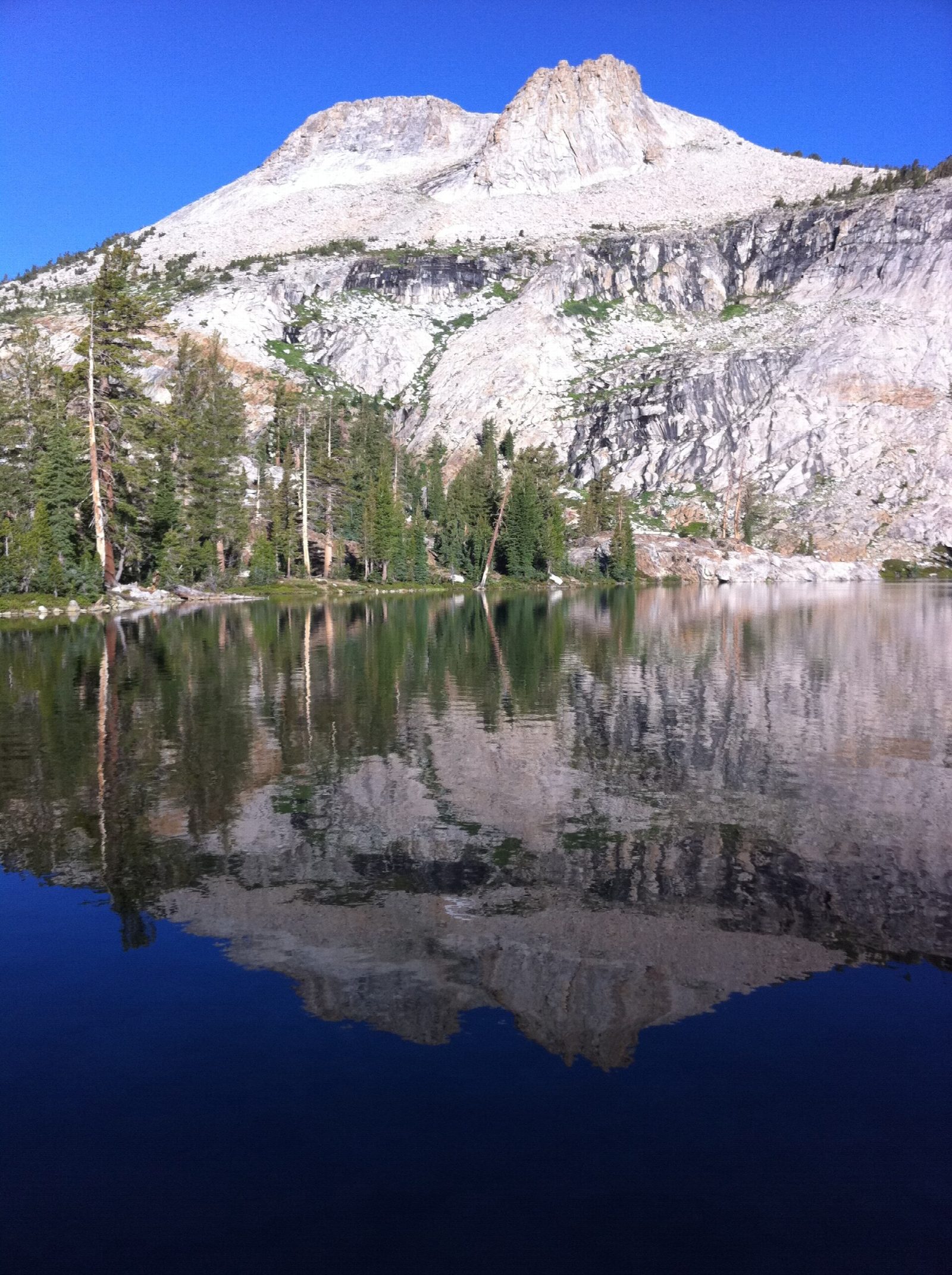
The walk starts at the May Lake parking area, 1.75 miles up a side road off Tioga Road. A trail climbs through forest and over granite slabs for 1.2 miles to May Lake, which has a High Sierra Camp on its shore. Where the trail meets the lake, turn left along the south shore for the path to Mount Hoffmann. There is no designated trail: informal paths and cairns climb through meadow and up steep, sandy slopes to the summit rocks. The top is a short scramble. Return the same way.
It is 5.5 miles (8.9 km) round trip with 1,740 feet (529 m) of climbing; allow about 4 hours. The grade is Hard: short, but steep and loose above the lake, with a scramble to finish at 10,850 feet.
Above May Lake the ground is steep, slippery decomposed granite, with no shade and more than one line of cairns: come down the way you went up. Be off the summit before afternoon thunderstorms build.
No permit is needed for a day hike. The road to the parking area is sometimes closed, most often in early summer, which adds 1.75 miles of walking each way. Tioga Road closes with the first big snow, usually in November, and reopens in late May or June. No overnight parking is allowed along it from October 15.
Route drawn by Global Adventurer along OpenStreetMap paths (© OpenStreetMap contributors, ODbL), with figures worked out from it. Check the forecast and the ground on the day: paths change.
Good to know
- Mount Hoffmann stands near the middle of Yosemite, with views across most of the park
- May Lake, on the way, has a High Sierra Camp on its shore
- Above the lake the path fades into rocky slopes and the summit block is a scramble
Summits on the way
- Mount Hoffmann 10,853 ft (3,308 m)
Getting there
Start: May Lake Trailhead. 37.83289, -119.49065
Places to stay nearby
Rooms in and around Yosemite: Booking.com → Expedia →
Affiliate links: if you book, Global Adventurer earns a small commission at no cost to you.
Paths change, and the weather decides the day. The line and figures come from OpenStreetMap and our own checks; take a map, check the forecast, and turn back if it isn't right.
