Line © OpenStreetMap contributors (ODbL), checked by Global Adventurer.
The hike
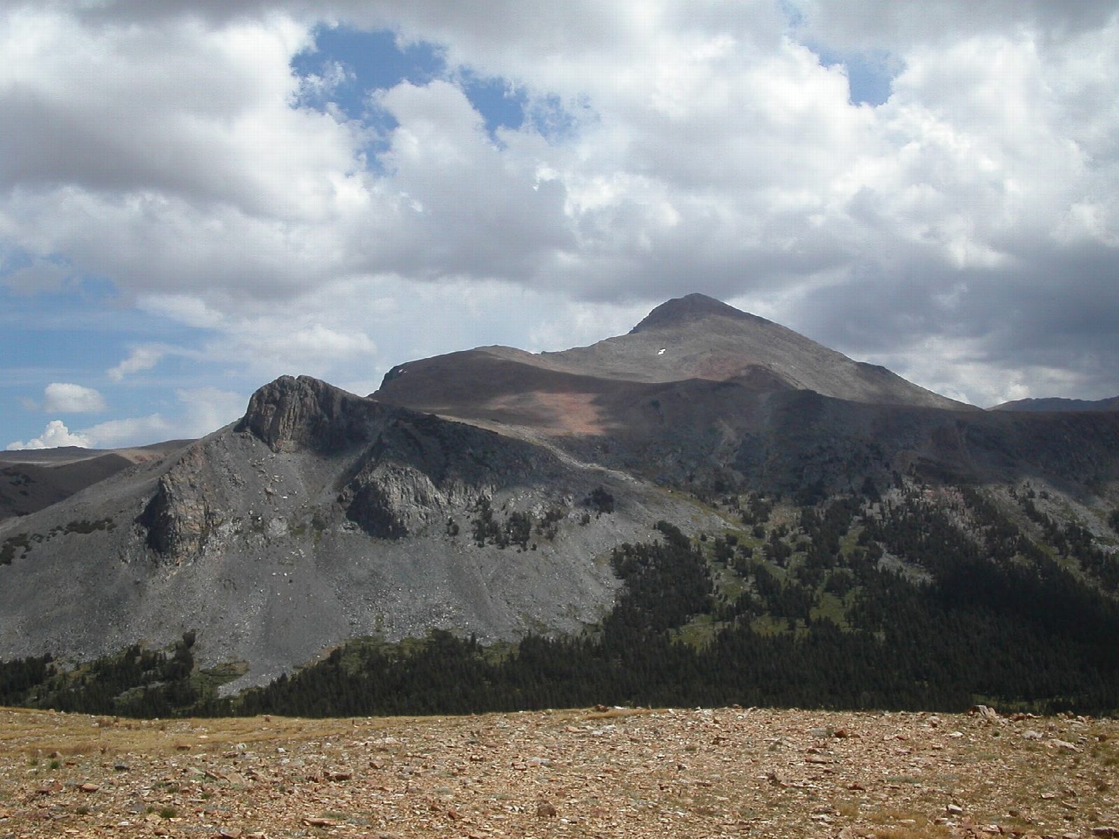
The walk starts at the Tioga Pass entrance station, at 9,945 feet. There is no official trail and no sign. A worn path leaves the east side of the road, passes small ponds in Dana Meadows and climbs through the last trees onto open, flowery slopes. After about 1,500 feet of climbing it reaches a flat bench. Above that the path breaks into several lines of cairns up a long slope of loose rock to the summit, at 13,061 feet. Mono Lake lies far below to the east. Return the same way.
It is 5.2 miles (8.4 km) round trip with 2,930 feet (893 m) of climbing; allow about 6 hours. The grade is Hard: short, but very steep, on loose rock, and above 10,000 feet all the way.
The park lists Mount Dana only as a cross-country route. The upper slope is unstable talus with misleading cairns, there is no shade, and snow can lie into summer. The altitude is the main difficulty: go slowly, and turn back if you get a headache or feel dizzy. Be off the summit by noon, before thunderstorms build.
No permit is needed for a day hike. Park in the lot at the entrance station. Tioga Road closes with the first big snow, usually in November, and reopens in late May or June. No overnight parking is allowed along it from October 15.
Route drawn by Global Adventurer along OpenStreetMap paths (© OpenStreetMap contributors, ODbL), with figures worked out from it. Check the forecast and the ground on the day: paths change.
Good to know
- Yosemite's second-highest summit, 3,981 m, looking down on Mono Lake
- An unmaintained trail climbs about 950 m, steep and rocky in its upper half
- Altitude sickness is a real risk: turn back with a headache or dizziness
Summits on the way
- Mount Dana 13,045 ft (3,976 m)
Getting there
Start: Tioga Pass Entrance. 37.91074, -119.25775
Places to stay nearby
Rooms in and around Yosemite: Booking.com → Expedia →
Affiliate links: if you book, Global Adventurer earns a small commission at no cost to you.
Paths change, and the weather decides the day. The line and figures come from OpenStreetMap and our own checks; take a map, check the forecast, and turn back if it isn't right.

