Line © OpenStreetMap contributors (ODbL), checked by Global Adventurer.
The hike
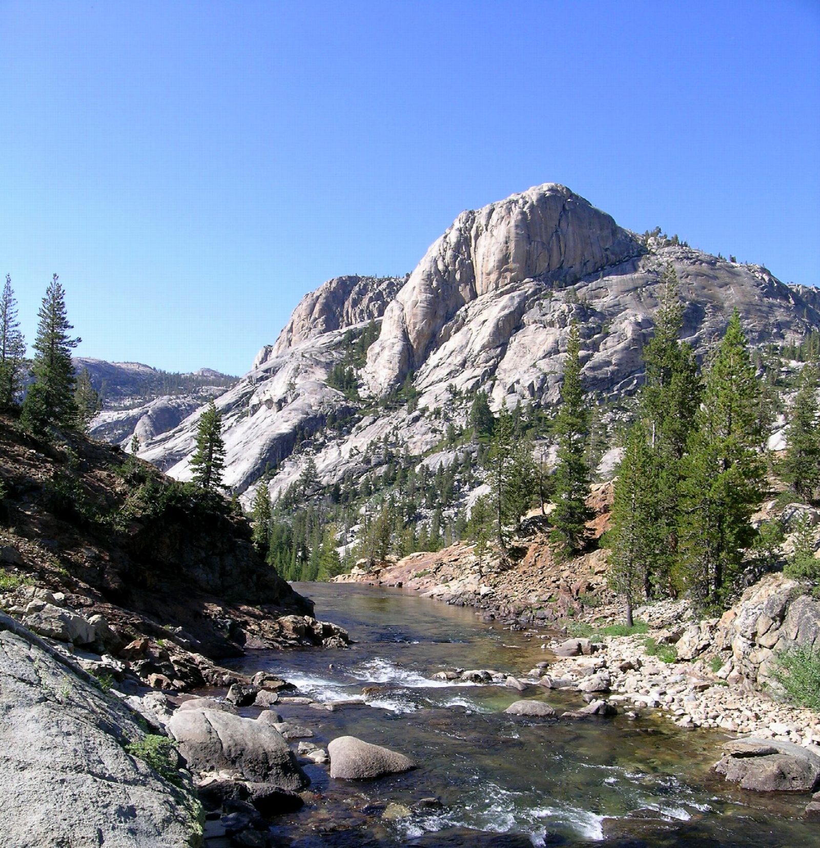
Park at the Lembert Dome parking area on Tioga Road and walk the dirt road west to the gate at the Glen Aulin Trailhead. The old road beyond runs along the edge of the meadow to Soda Springs and Parsons Memorial Lodge, where the Pacific Crest Trail takes over. It follows the Tuolumne River downstream through forest and across open granite, level at first. About four miles from the start the river begins to fall, and the trail drops beside Tuolumne Falls and White Cascade to the footbridge at Glen Aulin, where there is a High Sierra Camp. Return the same way.
It is 11.2 miles (18.1 km) round trip with 810 feet (247 m) of climbing; allow about 5 hours. The grade is Moderate: long, but on a good trail, and nearly all the climbing comes on the way back.
Several streams on the way have no bridges, and in early summer the water is high, cold and fast. Treat any water you drink. Bears are active: keep food with you, and use the lockers at the trailhead for anything left behind. Pets and bicycles are not allowed. No permit is needed for a day hike.
Tioga Road closes with the first big snow, usually in November, and reopens in late May or June. No overnight parking is allowed along it from October 15.
Route drawn by Global Adventurer along OpenStreetMap paths (© OpenStreetMap contributors, ODbL), with figures worked out from it. Check the forecast and the ground on the day: paths change.
Good to know
- Follows the Tuolumne River past Soda Springs to a string of falls and cascades
- Glen Aulin has a High Sierra Camp beside the pool below White Cascade
- The trail drops towards the glen, so much of the climbing comes on the way back
Getting there
Start: Lembert Dome parking area. 37.87732, -119.35343
Places to stay nearby
Rooms in and around Yosemite: Booking.com → Expedia →
Affiliate links: if you book, Global Adventurer earns a small commission at no cost to you.
Paths change, and the weather decides the day. The line and figures come from OpenStreetMap and our own checks; take a map, check the forecast, and turn back if it isn't right.

