Line © OpenStreetMap contributors (ODbL), checked by Global Adventurer.
The hike
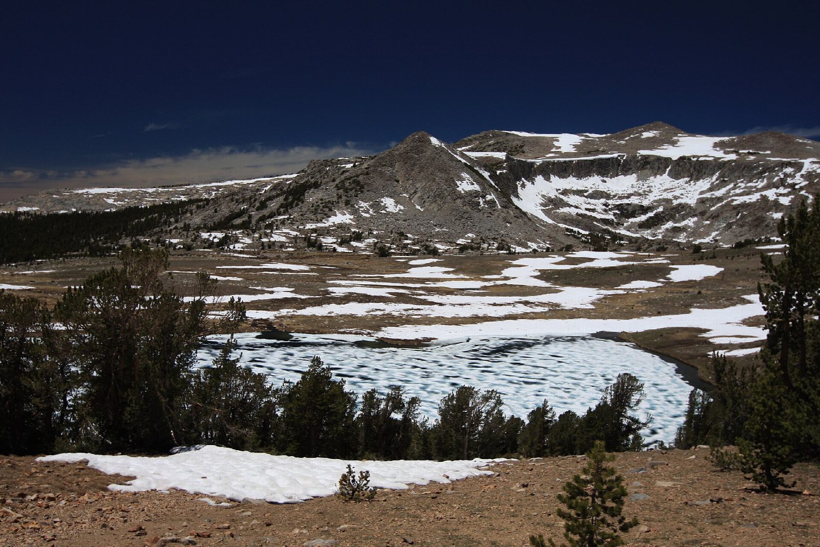
The walk starts at the Gaylor Lakes Trailhead, beside the Tioga Pass entrance station, at 9,945 feet. The trail climbs steeply from the parking lot to the crest of a ridge, with views back to Mount Dana and over Dana Meadows, then drops about 200 feet to Middle Gaylor Lake. Follow the shore and then the stream that feeds the lake up to Upper Gaylor Lake, in open country above the trees. The stone ruins of the Great Sierra Mine stand a short climb above the upper lake. Return the same way, climbing back over the ridge.
It is 3.4 miles (5.4 km) round trip with 780 feet (239 m) of climbing; allow about 2 hours. The grade is Easy for its length, but the first climb is steep and the whole walk is at about 10,000 feet.
At this height you may tire sooner than you expect, or feel unwell: take it slowly, and go down if you do not improve. There is no shelter on the ridge or at the lakes, so turn back if a thunderstorm is building. Parking at the trailhead is limited; it has vault toilets and food lockers. No permit is needed for a day hike.
Tioga Road closes with the first big snow, usually in November, and reopens in late May or June. No overnight parking is allowed along it from October 15.
Route drawn by Global Adventurer along OpenStreetMap paths (© OpenStreetMap contributors, ODbL), with figures worked out from it. Check the forecast and the ground on the day: paths change.
Good to know
- Starts at about 3,000 m beside the Tioga Pass entrance: short, but steep at altitude
- Above the upper lake stand the stone cabins of the 1880s Great Sierra Mine
- There are no trees up here: head down if a thunderstorm builds
Getting there
Start: Gaylor Lakes Trailhead. 37.91016, -119.25820
Places to stay nearby
Rooms in and around Yosemite: Booking.com → Expedia →
Affiliate links: if you book, Global Adventurer earns a small commission at no cost to you.
Paths change, and the weather decides the day. The line and figures come from OpenStreetMap and our own checks; take a map, check the forecast, and turn back if it isn't right.