Line © OpenStreetMap contributors (ODbL), checked by Global Adventurer.
The hike
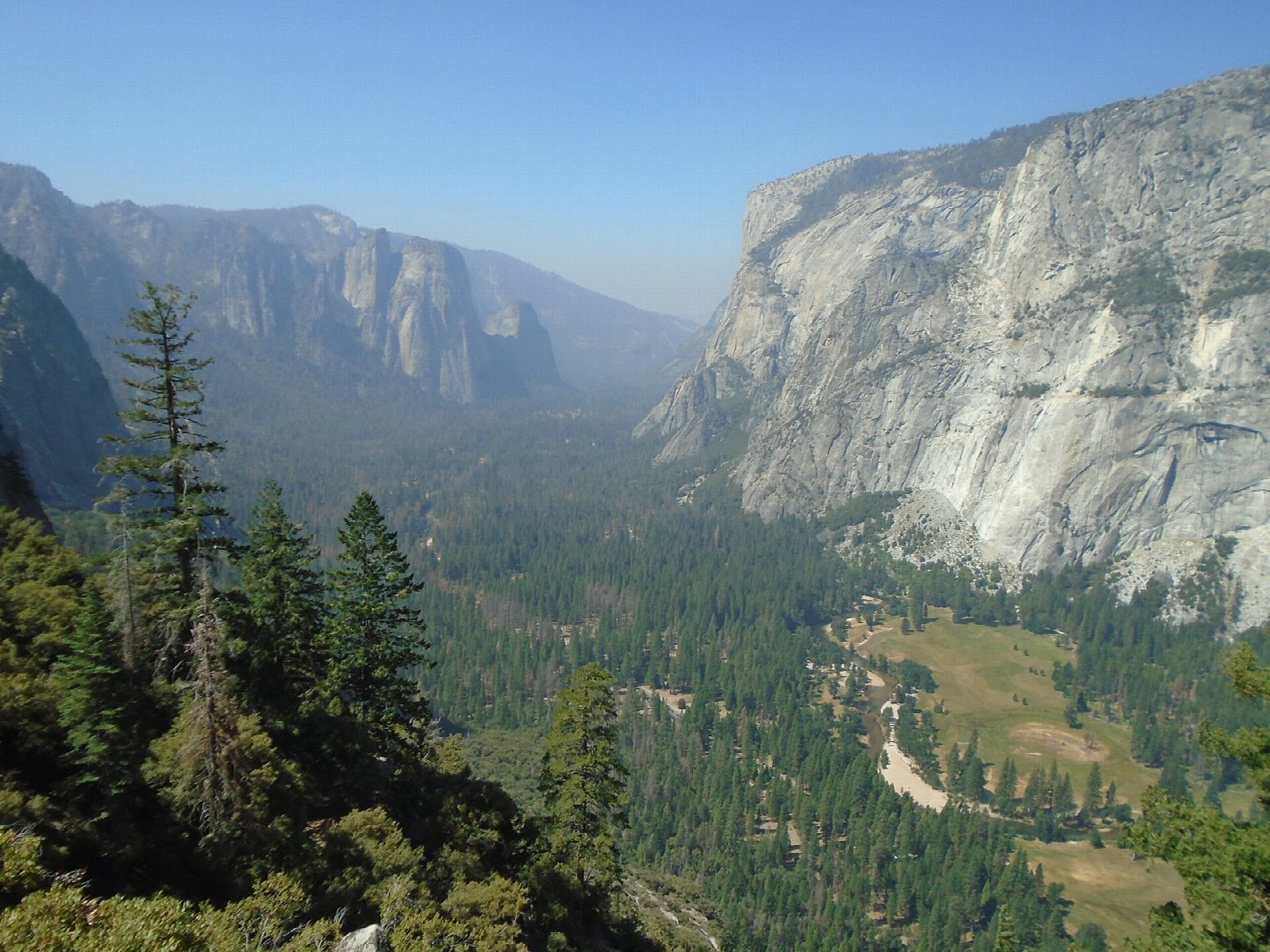
The walk starts at the Four Mile Trailhead on Southside Drive in Yosemite Valley, near shuttle stop 11. The trail climbs from the foot of Sentinel Rock in long switchbacks, and by about halfway Yosemite Falls is in full view across the valley. About two thirds of the way up, a short spur leads out to Union Point. More switchbacks lead on to Glacier Point, some 3,200 feet above the valley floor, with Half Dome straight ahead. Return the same way: there is no shuttle bus from Glacier Point down to the valley.
It is 9.9 miles (15.9 km) round trip with 3,240 feet (988 m) of climbing; allow about 7½ hours. The grade is Hard: a long, unbroken climb, and a descent that is hard on knees and ankles.
There is no drinking water on the trail, and water at Glacier Point is on in summer only: carry about 4 quarts (4 liters) each. The trail is very hot at midday. Brush hides the drop-offs beside the path, and sprained ankles are common. Parking at the trailhead is very limited; when it is full, ride the free valley shuttle. No permit is needed.
The trail closes above the gate below Union Point after the first big snow, usually by November or December, and is normally shut for the rest of the winter. It reopens around May.
Route drawn by Global Adventurer along OpenStreetMap paths (© OpenStreetMap contributors, ODbL), with figures worked out from it. Check the forecast and the ground on the day: paths change.
Good to know
- Built in 1872; a later rerouting made it nearer five miles each way than four
- Climbs almost 1,000 m from the valley floor, facing Yosemite Falls most of the way
- The upper trail is usually closed by snow and ice from late autumn to spring
Summits on the way
- Union Point 6,332 ft (1,930 m) · passed close by
Getting there
Start: Four Mile Trailhead · Free parking. 37.73396, -119.60180
Places to stay nearby
Rooms in and around Yosemite: Booking.com → Expedia →
Affiliate links: if you book, Global Adventurer earns a small commission at no cost to you.
Paths change, and the weather decides the day. The line and figures come from OpenStreetMap and our own checks; take a map, check the forecast, and turn back if it isn't right.

