Line © OpenStreetMap contributors (ODbL), checked by Global Adventurer.
The hike
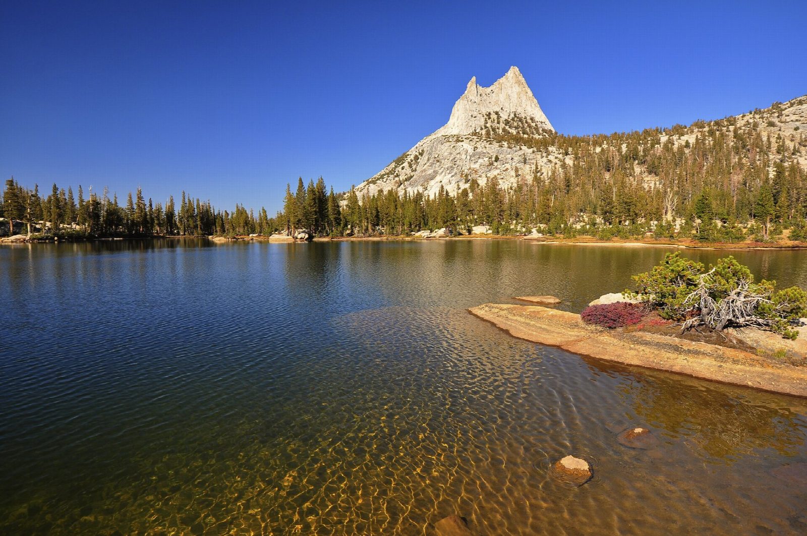
Park at the Tuolumne Meadows Visitor Center on Tioga Road. The Cathedral Lakes Trailhead is at the edge of the parking lot, and a short connector leads to the John Muir Trail. Follow it southwest, climbing steadily through lodgepole forest. After about 3.3 miles a signed spur drops to the right, across a wet meadow, to the shore of Lower Cathedral Lake. Go back to the junction and carry on up the John Muir Trail for under a mile, then take the short path on the right to Upper Cathedral Lake, under Cathedral Peak. Return the same way.
It is 9.7 miles (15.6 km) round trip with 1,570 feet (479 m) of climbing; allow about 5 hours. The grade is Moderate: a steady climb on a good trail, most of it above 9,000 feet.
No permit is needed for a day hike. The old roadside parking by the trail has gone, so use the visitor center lot. Bears are active: use the food lockers at the trailhead, and never leave food in a car after dark. Expect stream crossings, boggy ground and mosquitoes near the lakes in early summer, and afternoon thunderstorms from June to September.
Tioga Road closes with the first big snow, usually in November, and reopens in late May or June. No overnight parking is allowed along it from October 15.
Route drawn by Global Adventurer along OpenStreetMap paths (© OpenStreetMap contributors, ODbL), with figures worked out from it. Check the forecast and the ground on the day: paths change.
Good to know
- The trail now starts at the Tuolumne Meadows Visitor Center parking lot; the old roadside parking has gone
- Cathedral Peak's granite spire rises straight above the upper lake
- Tioga Road usually opens in late May or June and closes with the first big snows of autumn
Getting there
Start: Tuolumne Meadows Visitor Center. 37.87170, -119.37449
Places to stay nearby
Rooms in and around Yosemite: Booking.com → Expedia →
Affiliate links: if you book, Global Adventurer earns a small commission at no cost to you.
Paths change, and the weather decides the day. The line and figures come from OpenStreetMap and our own checks; take a map, check the forecast, and turn back if it isn't right.

