Line © OpenStreetMap contributors (ODbL), checked by Global Adventurer.
The walk
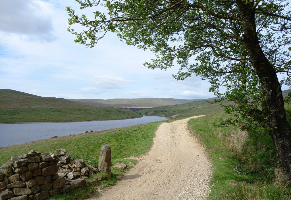
The walk starts from the Yorkshire Water car park at Scar House Reservoir, at the head of Nidderdale, and makes a circuit of the water. It follows the road to the great stone dam and crosses it, then climbs to Carle Fell Road, an old track that runs west along the hillside above the north shore. The track passes the site of Lodge, a lost hamlet, and a path drops to the dam of Angram Reservoir. The route crosses this second dam and returns along the tarmac waterworks road on the south shore.
It is 7.1 km with 70 m of ascent; allow about 2 hours. The grade is Easy: it is nearly level, half of it on a tarmac road closed to traffic.
Yorkshire Water warns that the dale head is exposed and the weather changes quickly, so take warm and waterproof clothes. The lower path along the north shore is boggy in wet seasons; this route uses the drier track above it. Dogs should be on leads, and on short leads from March to July when curlew and lapwing nest. Swimming is not allowed: the water is cold and can carry blue-green algae.
The car park is free and has toilets. It is reached by Yorkshire Water's private road, which leaves the Middlesmoor road just beyond Lofthouse. There is no station nearby.
Route drawn by Global Adventurer along OpenStreetMap paths (© OpenStreetMap contributors, ODbL), with figures worked out from it. Check the forecast and the ground on the day: paths change.
Good to know
- Scar House Reservoir at the head of Nidderdale, built for Bradford's water supply
- Across both the Scar House and Angram dams
- Carle Fell Road, an old track above the north shore, and the site of the lost hamlet of Lodge
- Curlew and lapwing nest here in summer
Getting there
Start: Scar House Reservoir car park · Free parking. 54.18540, -1.89383
Places to stay nearby
Rooms in and around Skipton: Booking.com → Expedia →
Affiliate links: if you book, Global Adventurer earns a small commission at no cost to you.
Paths change, and the weather decides the day. The line and figures come from OpenStreetMap and our own checks; take a map, check the forecast, and turn back if it isn't right.