Line © OpenStreetMap contributors (ODbL), checked by Global Adventurer.
The walk
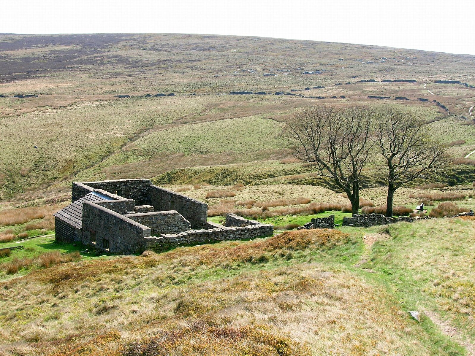
The walk starts from the Brontë Parsonage Museum car park in Haworth and makes a circuit over the moor. It crosses Penistone Hill to the moor road, then follows a track and a path along the valley of South Dean Beck to the Brontë Bridge and the small Brontë Waterfall. A path climbs over the moor to the ruined farmhouse of Top Withens (420 m). The return follows the Pennine Way north-east to Stanbury, then goes by Lumb Foot and field paths on the north side of the valley back to Haworth.
It is 12.1 km with 303 m of ascent; allow about 3¾ hours. The grade is Moderate: it is a long moorland walk with steady climbs, on clear paths and tracks.
Top Withens has long been linked with Wuthering Heights. A plaque on the ruin says the building never looked like the house in the novel, though its setting may have been in Emily Brontë's mind. Bradford Council advises a map and compass in mist: away from the main tracks the paths are faint and boggy. Keep dogs on a lead on these grouse moors; fires and barbecues are banned.
The car park is run by Bradford Council and costs £1.50 an hour; there are toilets. Haworth station is on the Keighley and Worth Valley Railway, a heritage line; the nearest main line station is Keighley.
Route drawn by Global Adventurer along OpenStreetMap paths (© OpenStreetMap contributors, ODbL), with figures worked out from it. Check the forecast and the ground on the day: paths change.
Good to know
- Starts by the Brontë Parsonage Museum in Haworth
- The Brontë Bridge and Brontë Waterfall on South Dean Beck
- Top Withens, the ruined farmhouse long linked with Wuthering Heights
- Back along the Pennine Way and through Stanbury
Getting there
Start: Brontë Parsonage Museum car park, Haworth · Pay and display. 53.83177, -1.95730
Places to stay nearby
Rooms in and around Brontë Parsonage Museum car park: Booking.com → Expedia →
Affiliate links: if you book, Global Adventurer earns a small commission at no cost to you.
Paths change, and the weather decides the day. The line and figures come from OpenStreetMap and our own checks; take a map, check the forecast, and turn back if it isn't right.
