Line © OpenStreetMap contributors (ODbL), checked by Global Adventurer.
The walk
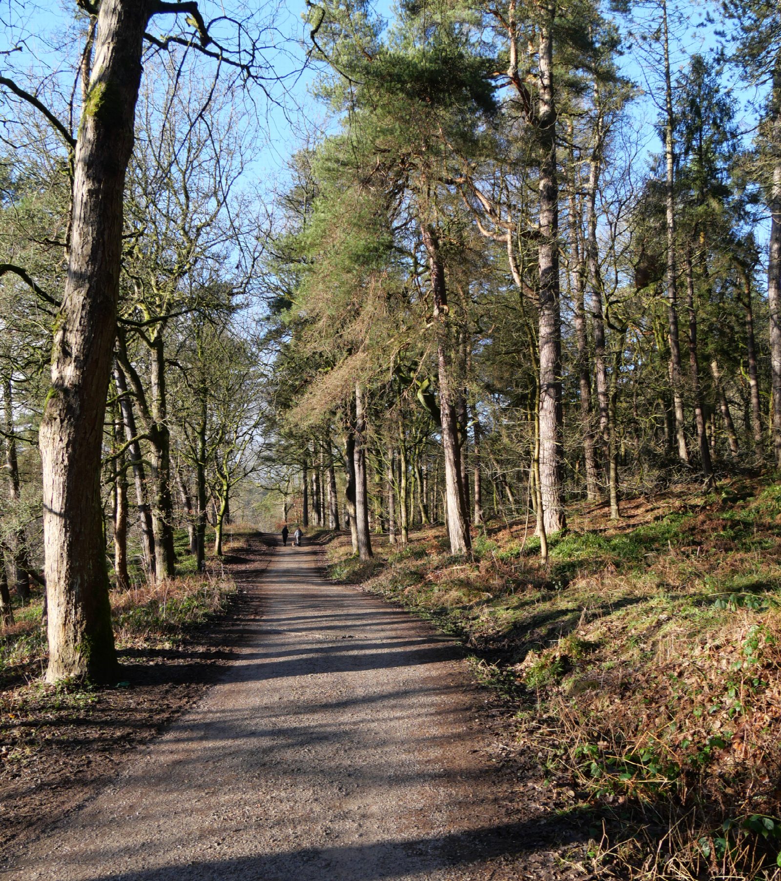
The walk starts from the National Trust's Midgehole car park, north of Hebden Bridge, and makes a circuit of the wooded valley of Hebden Water. A path leaves the estate track and follows the river upstream, over rocks and tree roots, to Gibson Mill, a cotton mill of about 1800 that now makes its own power. The riverside path goes on for another 500 m to the foot of Hardcastle Crags, the gritstone outcrops that give the valley its name. The route then climbs to the upper track and follows it back through the woods to Midgehole.
It is 4.9 km with 159 m of ascent; allow about 1¾ hours. The grade is Easy: it is short, but the riverside path is rough underfoot.
The riverside path has very uneven, rocky stretches that are slippery and muddy after rain, and it climbs away from the river three times. The broad estate track from the car park to the mill, about 1.6 km, is the easy alternative. The National Trust asks for dogs to be under control in the woods, and on a lead near livestock and at the mill.
The car park costs £5 for up to four hours or £8 for the day and is free to National Trust members. Hebden Bridge station is 3 km away, about 40 minutes on foot.
Route drawn by Global Adventurer along OpenStreetMap paths (© OpenStreetMap contributors, ODbL), with figures worked out from it. Check the forecast and the ground on the day: paths change.
Good to know
- A wooded valley looked after by the National Trust above Hebden Bridge
- Gibson Mill, a cotton mill of about 1800
- The riverside path beside Hebden Water
- Hardcastle Crags, the gritstone outcrops that name the valley
Getting there
Start: Midgehole car park · Pay and display. 53.75875, -2.01887
By train: Hebden Bridge station is 2.4 km from the start.
Places to stay nearby
Rooms in and around Hebden Bridge: Booking.com → Expedia →
Affiliate links: if you book, Global Adventurer earns a small commission at no cost to you.
Paths change, and the weather decides the day. The line and figures come from OpenStreetMap and our own checks; take a map, check the forecast, and turn back if it isn't right.