Line © OpenStreetMap contributors (ODbL), checked by Global Adventurer.
The walk
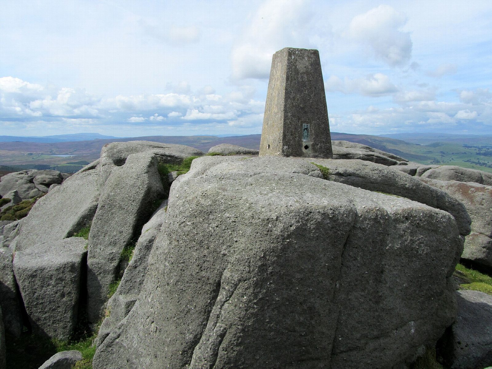
The walk starts from the Riverside car park at the Cavendish Pavilion on the Bolton Abbey estate and makes a circuit. It crosses the wooden bridge, climbs to the lane at Posforth Bridge and enters the Valley of Desolation, passing the waterfall of Posforth Gill. A track climbs through a plantation onto the open heather of Barden Fell and up to the gritstone outcrop of Simon's Seat (485 m). The descent goes south-west over the moor and down to the hamlet of Howgill and the river. The path follows the east bank of the Wharfe downstream to Barden Bridge and on through Strid Wood back to the wooden bridge.
It is 14.4 km with 407 m of ascent; allow about 4¾ hours. The grade is Moderate: one steady climb onto the moor on tracks and rough paths, then an easy riverside return.
Dogs are not allowed on Barden Fell, which includes the Valley of Desolation and Simon's Seat. The estate may close the fell in a long dry spell because of the risk of fire. Grouse are shot here from 12 August to 14 December, but the fell stays open. The top is exposed and the moor paths are rough and peaty.
Parking is paid by the car for the day (£12.50 when booked online), and the ticket covers the estate's other car parks too. There is no station nearby.
Route drawn by Global Adventurer along OpenStreetMap paths (© OpenStreetMap contributors, ODbL), with figures worked out from it. Check the forecast and the ground on the day: paths change.
Good to know
- Simon's Seat, a gritstone outcrop 485 m above sea level on Barden Fell
- Up through the Valley of Desolation, past the waterfall of Posforth Gill
- Back along the Wharfe by Barden Bridge and the Strid
- Open access land on the Bolton Abbey estate: no dogs
Summits on the way
- Simon's Seat 485 m
Getting there
Start: Cavendish Pavilion car park · Pay and display. 53.99255, -1.88222
Places to stay nearby
Rooms in and around Ilkley: Booking.com → Expedia →
Affiliate links: if you book, Global Adventurer earns a small commission at no cost to you.
Paths change, and the weather decides the day. The line and figures come from OpenStreetMap and our own checks; take a map, check the forecast, and turn back if it isn't right.
