Line © OpenStreetMap contributors (ODbL), checked by Global Adventurer.
The walk
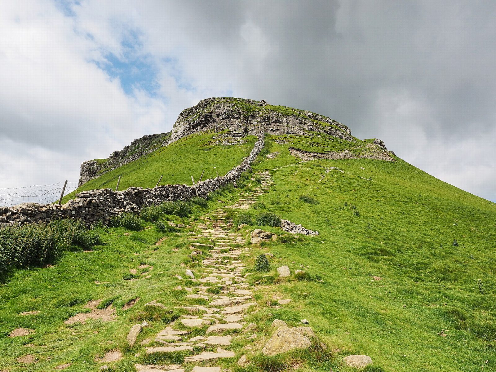
The walk starts from the National Park car park in Horton in Ribblesdale and makes a circuit. It goes south through the village and up the lane to Brackenbottom, where a path climbs steadily over limestone pasture to the foot of Pen-y-ghent's south nose. The Pennine Way goes up two steep, rocky steps to the trig point and shelter on the summit (694 m). The descent follows the Pennine Way north along the edge and down a pitched path to the head of Horton Scar Lane, with a short detour to Hull Pot, a great open hole in the moor. The walled lane leads back to the village.
It is 10.0 km with 476 m of ascent; allow about 3¾ hours. The grade is Moderate: the nose is steep and rocky for a short way; the rest is on good paths.
The National Park calls this the easiest of the Three Peaks, with clear paths and fairly simple navigation. The two rock steps on the nose need hands in places and are slippery when wet or icy. Hull Pot is unfenced: take care near the edge.
The National Park car park costs £3.80 for up to two hours, £6 for longer and £7 for 24 hours and has toilets; it fills early at weekends. Horton in Ribblesdale station, on the Settle to Carlisle line, is 400 m away.
Route drawn by Global Adventurer along OpenStreetMap paths (© OpenStreetMap contributors, ODbL), with figures worked out from it. Check the forecast and the ground on the day: paths change.
Good to know
- At 694 m the lowest of the Yorkshire Three Peaks, with a stepped profile of gritstone on limestone
- Up from Brackenbottom and the rocky south nose, down the Pennine Way to Horton Scar Lane
- Hull Pot, a short detour from the Pennine Way, is said to be the largest natural hole in England
- Horton in Ribblesdale has a station on the Settle to Carlisle line
Summits on the way
- Pen-y-ghent 694 m
Getting there
Start: Horton in Ribblesdale car park · Pay and display. 54.14879, -2.29598
By train: Horton-in-Ribblesdale station is 0.4 km from the start.
Places to stay nearby
Rooms in and around Horton-in-Ribblesdale: Booking.com → Expedia →
Affiliate links: if you book, Global Adventurer earns a small commission at no cost to you.
Paths change, and the weather decides the day. The line and figures come from OpenStreetMap and our own checks; take a map, check the forecast, and turn back if it isn't right.
