Line © OpenStreetMap contributors (ODbL), checked by Global Adventurer.
The walk
The walk starts from the car park in Muker and makes a circuit of Kisdon, the hill above the village. A flagged path crosses the hay meadows to the River Swale, and a path follows the west bank upstream below the woods of Kisdon. Near Keld a signed path drops to Kisdon Force, and the route then climbs into the hamlet. It leaves by the road, turns onto the Corpse Road, the old way by which the dead were carried down the dale for burial, and climbs over the shoulder of Kisdon. The track then drops steeply to join the Pennine Way above Muker and returns to the village.
It is 9.5 km with 339 m of ascent; allow about 3¼ hours. The grade is Moderate: one long climb over Kisdon and a steep descent; the riverside paths are rough in places.
The National Park calls this a strenuous walk, with a long climb and a steep descent, narrow stone stiles and paths with tree roots that can be slippery. The path down to Kisdon Force is narrow and slippery too. In the meadows keep to the flagged path, in single file. Keep dogs on a lead.
The car park by the bridge in Muker is run by the council and charges a fee; the village has toilets and a pub. There is no station nearby.
Route drawn by Global Adventurer along OpenStreetMap paths (© OpenStreetMap contributors, ODbL), with figures worked out from it. Check the forecast and the ground on the day: paths change.
Good to know
- The flower-rich hay meadows of Muker, crossed on a flagged path
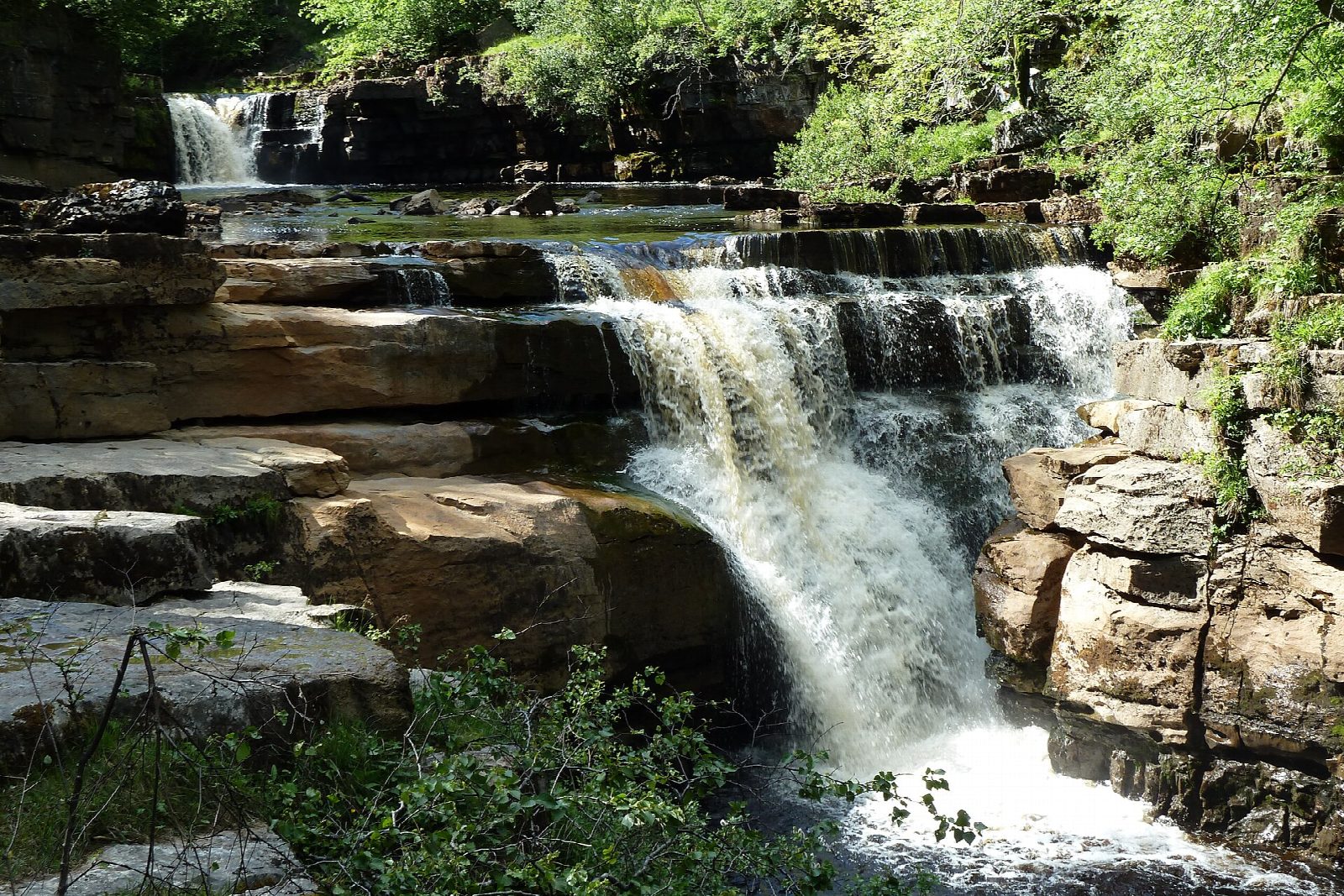
- Kisdon Force on the River Swale below Keld
- Back over the shoulder of Kisdon by the old Corpse Road, used until Muker got its own church in 1580
- The Pennine Way and the Coast to Coast path cross at Keld
Summits on the way
- Birk Hill · passed close by
Getting there
Start: Muker car park · Pay and display. 54.37587, -2.13971
Places to stay nearby
Rooms in and around Garsdale: Booking.com → Expedia →
Affiliate links: if you book, Global Adventurer earns a small commission at no cost to you.
Paths change, and the weather decides the day. The line and figures come from OpenStreetMap and our own checks; take a map, check the forecast, and turn back if it isn't right.


