Line © OpenStreetMap contributors (ODbL), checked by Global Adventurer.
The walk
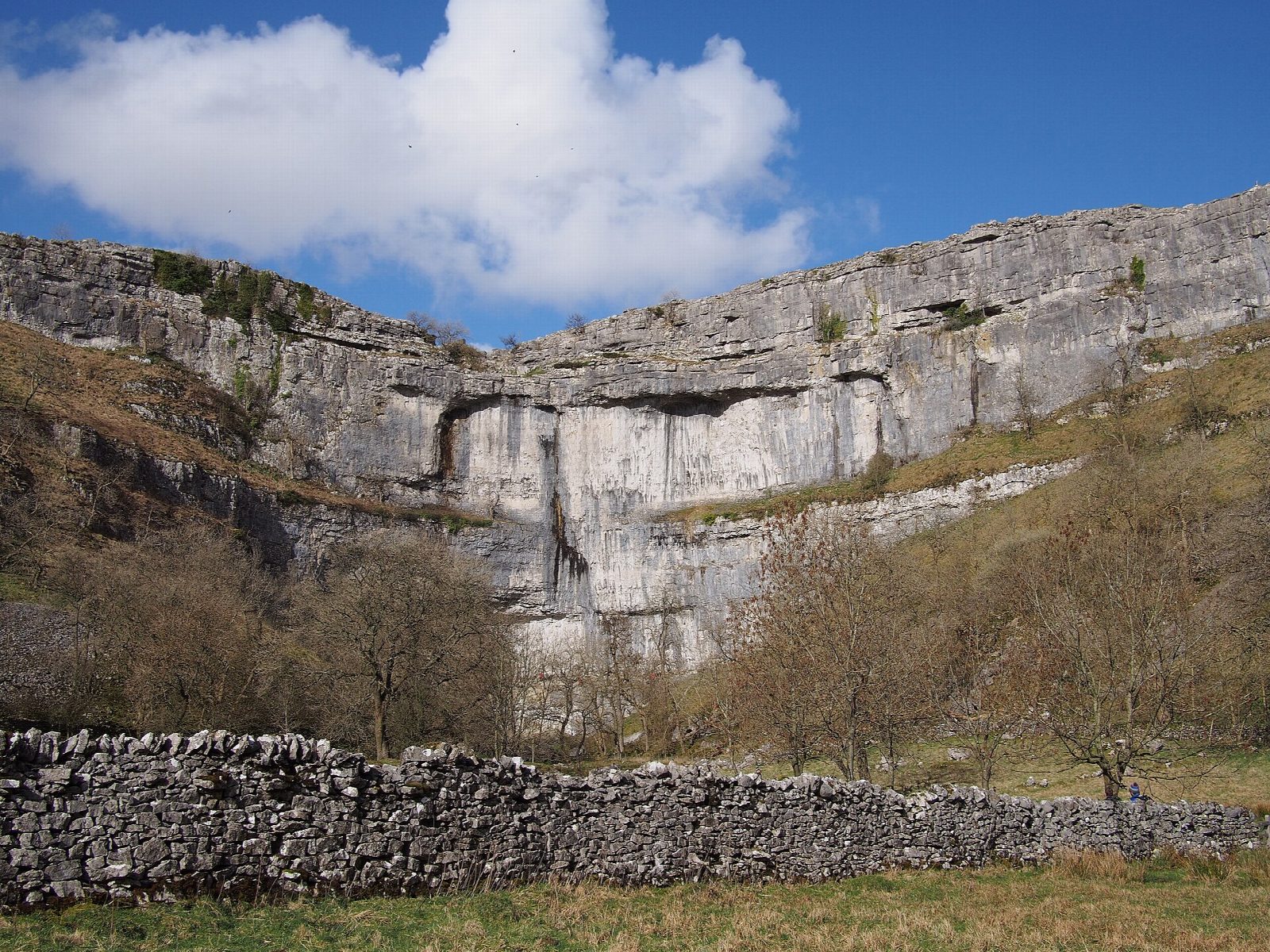
The walk starts from the National Park car park in Malham and makes a circuit. It follows the Pennine Way south for a short way, then a flagged path beside Gordale Beck through fields and a wooded dell to the waterfall of Janet's Foss. A short stretch of lane leads to Gordale Bridge, and a level path runs into Gordale Scar, a gorge with overhanging limestone walls, as far as the foot of its waterfall. The route returns to the bridge, climbs a path over the pastures to the top of Malham Cove and crosses the limestone pavement above the cliff. Some 400 steps lead down the west side, and a path follows Malham Beck back to the village.
It is 8.3 km with 196 m of ascent; allow about 2½ hours. The grade is Easy: the paths are good; the only climbs are over to the Cove and the steps down it.
The old way on from Gordale Scar is a scramble up the waterfall itself. This route does not take it: the National Park asks walkers to avoid it because it damages the tufa. The limestone pavement is uneven and very slippery when wet, and the Cove's edge is unfenced.
The National Park car park costs £3.80 for up to two hours, £6 for longer and £7 for 24 hours. There is no station nearby.
Route drawn by Global Adventurer along OpenStreetMap paths (© OpenStreetMap contributors, ODbL), with figures worked out from it. Check the forecast and the ground on the day: paths change.
Good to know
- Malham Cove, a curved limestone cliff over 70 m high, with a limestone pavement on top
- Gordale Scar, a gorge with overhanging limestone walls and a waterfall
- Janet's Foss, a small waterfall in a wooded dell, said to be the home of the queen of the fairies
- Goes to the foot of the Gordale waterfall and back, not up the scramble
Getting there
Start: Malham National Park car park · Pay and display. 54.06021, -2.15476
Places to stay nearby
Rooms in and around Hellifield: Booking.com → Expedia →
Affiliate links: if you book, Global Adventurer earns a small commission at no cost to you.
Paths change, and the weather decides the day. The line and figures come from OpenStreetMap and our own checks; take a map, check the forecast, and turn back if it isn't right.