Line © OpenStreetMap contributors (ODbL), checked by Global Adventurer.
The walk
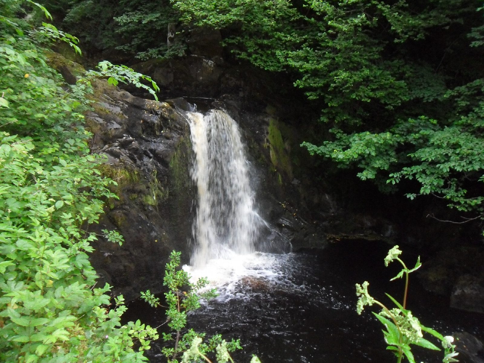
The walk starts from the trail's own car park at the Broadwood entrance in Ingleton and makes a circuit, walked one way only. The path goes up the wooded gorge of the River Twiss through Swilla Glen to Pecca Falls and on to Thornton Force, where the river drops 14 m over a limestone cliff. Above the fall it crosses Ravenray Bridge and follows Twisleton Lane, an old green lane, across the hillside to Beezleys Farm. It then goes down the River Doe past Beezley Falls and Snow Falls, and returns through Ingleton village to the car park.
It is 6.7 km with 201 m of ascent; allow about 2¼ hours. The grade is Easy: it is short, though there are many steps and the path is rough in places.
This is a privately run trail and you pay to walk it: £11 for adults and £5.50 for under-16s, by card at the entrance. The operators say to allow two and a half to four hours. There are a great many steps and the path is uneven and sometimes slippery; it is not suitable for pushchairs or wheelchairs. Dogs must be on a lead. The trail closes in extreme weather. There are toilets at the car park and half way round.
Parking at the entrance is free for ticket holders but limited. There is no station nearby.
Route drawn by Global Adventurer along OpenStreetMap paths (© OpenStreetMap contributors, ODbL), with figures worked out from it. Check the forecast and the ground on the day: paths change.
Good to know
- A privately run trail with an entry charge, walked one way round
- Up the River Twiss by Pecca Falls to Thornton Force, down the River Doe by Beezley Falls and Snow Falls
- Thornton Force falls 14 m over a limestone cliff
- Oak woodland in the gorges is a Site of Special Scientific Interest
Getting there
Start: Ingleton Waterfalls Trail car park. 54.15652, -2.47107
Places to stay nearby
Rooms in and around Bentham: Booking.com → Expedia →
Affiliate links: if you book, Global Adventurer earns a small commission at no cost to you.
Paths change, and the weather decides the day. The line and figures come from OpenStreetMap and our own checks; take a map, check the forecast, and turn back if it isn't right.
