Line © OpenStreetMap contributors (ODbL), checked by Global Adventurer.
The walk
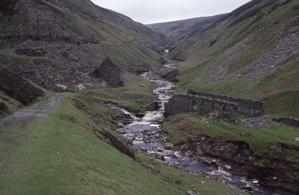
The walk starts in Gunnerside and makes a circuit of Gunnerside Gill. A path follows the beck upstream through woods and meadows, then climbs along the east side of the narrowing gill to the Bunton mine, with its ruined buildings and its hushes, great gullies torn in the hillside by miners who dammed water and let it go to strip the soil. It continues to the ruined Blakethwaite smelt mill, where two becks meet. The route crosses the beck there, climbs the west side and follows a broad miners' track south, high above the gill, before dropping back to Gunnerside.
It is 9.4 km with 390 m of ascent; allow about 3½ hours. The grade is Moderate: a steady climb on rough paths to the head of the gill and an easy track back.
The path up the gill is narrow and stony in places, and the beck is crossed on stones at the smelt mill, which can be awkward after heavy rain. The mine buildings are fragile and the old levels are dangerous: look, but stay out. The upper gill is remote and has no shelter. Keep dogs on a lead; sheep graze throughout.
Parking is in the middle of the village, by the bridge, with a box for donations; it is small and fills at weekends. There is no station nearby.
Route drawn by Global Adventurer along OpenStreetMap paths (© OpenStreetMap contributors, ODbL), with figures worked out from it. Check the forecast and the ground on the day: paths change.
Good to know
- A gill full of the remains of Swaledale's lead mines
- Bunton Level and its hushes, gullies torn in the hillside by miners
- The ruined Blakethwaite smelt mill at the head of the walk
- Up the east side by the beck, back along the miners' track high on the west side
Getting there
Start: Gunnerside · Pay and display. 54.37954, -2.07717
Places to stay nearby
Rooms in and around Garsdale: Booking.com → Expedia →
Affiliate links: if you book, Global Adventurer earns a small commission at no cost to you.
Paths change, and the weather decides the day. The line and figures come from OpenStreetMap and our own checks; take a map, check the forecast, and turn back if it isn't right.
