Line © OpenStreetMap contributors (ODbL), checked by Global Adventurer.
The walk
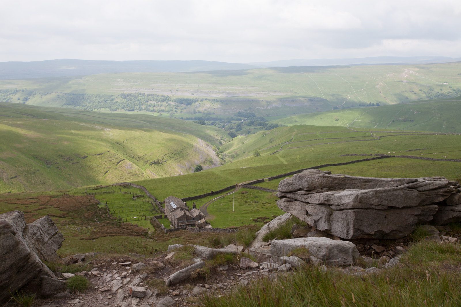
The walk starts from the National Park car park in Kettlewell and makes a circuit. It leaves the village by the lane beside Dowber Gill Beck and climbs a path to Hag Dyke, an old farm that is now a scout hostel, then goes up steeper, rougher ground to the boulders and trig point on Great Whernside (704 m). The route follows the summit ridge north, then drops north-west to the Coverdale road at Tor Dike, an ancient earthwork. A bridleway leads west along the dike to Cam Head, and the walled green lane of Top Mere Road runs south down the ridge back to Kettlewell.
It is 12.3 km with 534 m of ascent; allow about 4½ hours. The grade is Moderate: a steady climb, rough and wet near the top, and a long easy descent on tracks.
Much of the way is on grass paths, but the last 150 m of climb to the summit ridge has little path and is boggy, and it needs care with navigation. In clear weather stay on the ridge after the summit; in mist it is broad and confusing, so carry a map and compass. Top Mere Road is stony at its lower end.
The National Park car park costs £3.80 for up to two hours, £6 for longer and £7 for 24 hours and has toilets. There is no station nearby.
Route drawn by Global Adventurer along OpenStreetMap paths (© OpenStreetMap contributors, ODbL), with figures worked out from it. Check the forecast and the ground on the day: paths change.
Good to know
- Great Whernside, 704 m, above Kettlewell: not to be confused with Whernside
- Up past Hag Dyke, an old farm that is now a scout hostel
- Back by Tor Dike, an ancient earthwork, and the walled track of Top Mere Road
- Wide views over Wharfedale and Nidderdale
Summits on the way
- Great Whernside 704 m
Getting there
Start: Kettlewell car park · Pay and display. 54.14636, -2.05052
Places to stay nearby
Rooms in and around Horton-in-Ribblesdale: Booking.com → Expedia →
Affiliate links: if you book, Global Adventurer earns a small commission at no cost to you.
Paths change, and the weather decides the day. The line and figures come from OpenStreetMap and our own checks; take a map, check the forecast, and turn back if it isn't right.
