Line © OpenStreetMap contributors (ODbL), checked by Global Adventurer.
The walk
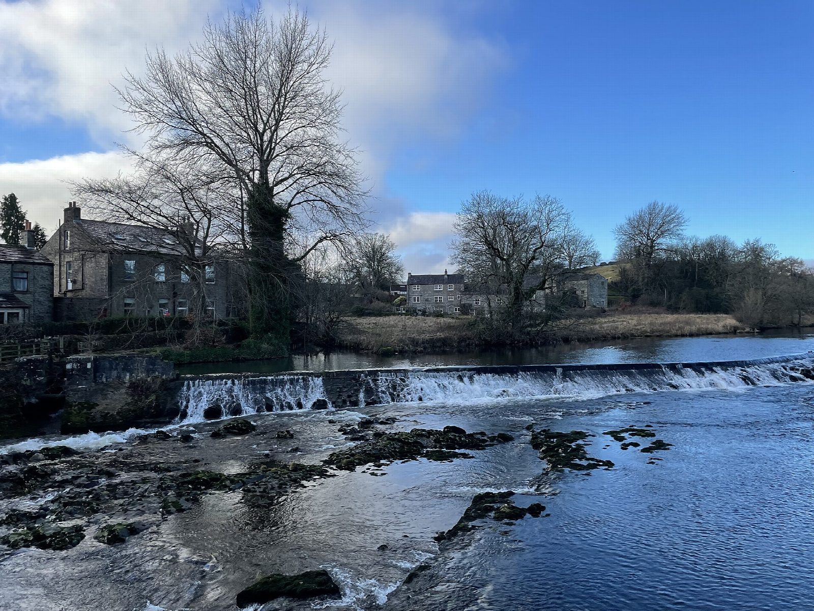
The walk starts from the National Park car park in Grassington and makes a circuit. The walled path of Sedber Lane drops to Linton Falls, where a footbridge looks down on the Wharfe pouring over limestone ledges. The Dales Way then follows the river downstream through meadows to the suspension bridge below Hebden, crosses it and continues along the far bank past the crags of Loup Scar to the old bridge at Burnsall. The return crosses the bridge and climbs by field paths and lanes above the east side of the valley to the village of Hebden. From there a path across the fields and High Lane, an old walled track, lead west back to Grassington.
It is 11.3 km with 185 m of ascent; allow about 3¼ hours. The grade is Moderate: it is long for a valley walk, with gentle climbs and many stiles.
The riverside path is rough and muddy in places and floods when the Wharfe is high. The field paths have many narrow stone stiles and gates, and cross meadows and pastures with livestock: keep dogs on a lead. The hay meadows near Grassington are best in early summer.
The National Park car park costs £3.80 for up to two hours, £6 for longer and £7 for 24 hours and has toilets. Buses run to Grassington from Skipton and Ilkley. There is no station nearby.
Route drawn by Global Adventurer along OpenStreetMap paths (© OpenStreetMap contributors, ODbL), with figures worked out from it. Check the forecast and the ground on the day: paths change.
Good to know
- Linton Falls, where the Wharfe drops over limestone ledges below Grassington
- The Dales Way along the river to the suspension bridge at Hebden and on to Burnsall
- Loup Scar, a limestone crag above the river
- Back by Hebden and the old walled track of High Lane
Getting there
Start: Grassington National Park car park · Pay and display. 54.06921, -1.99779
Places to stay nearby
Rooms in and around Gargrave: Booking.com → Expedia →
Affiliate links: if you book, Global Adventurer earns a small commission at no cost to you.
Paths change, and the weather decides the day. The line and figures come from OpenStreetMap and our own checks; take a map, check the forecast, and turn back if it isn't right.

