Line © OpenStreetMap contributors (ODbL), checked by Global Adventurer.
The walk
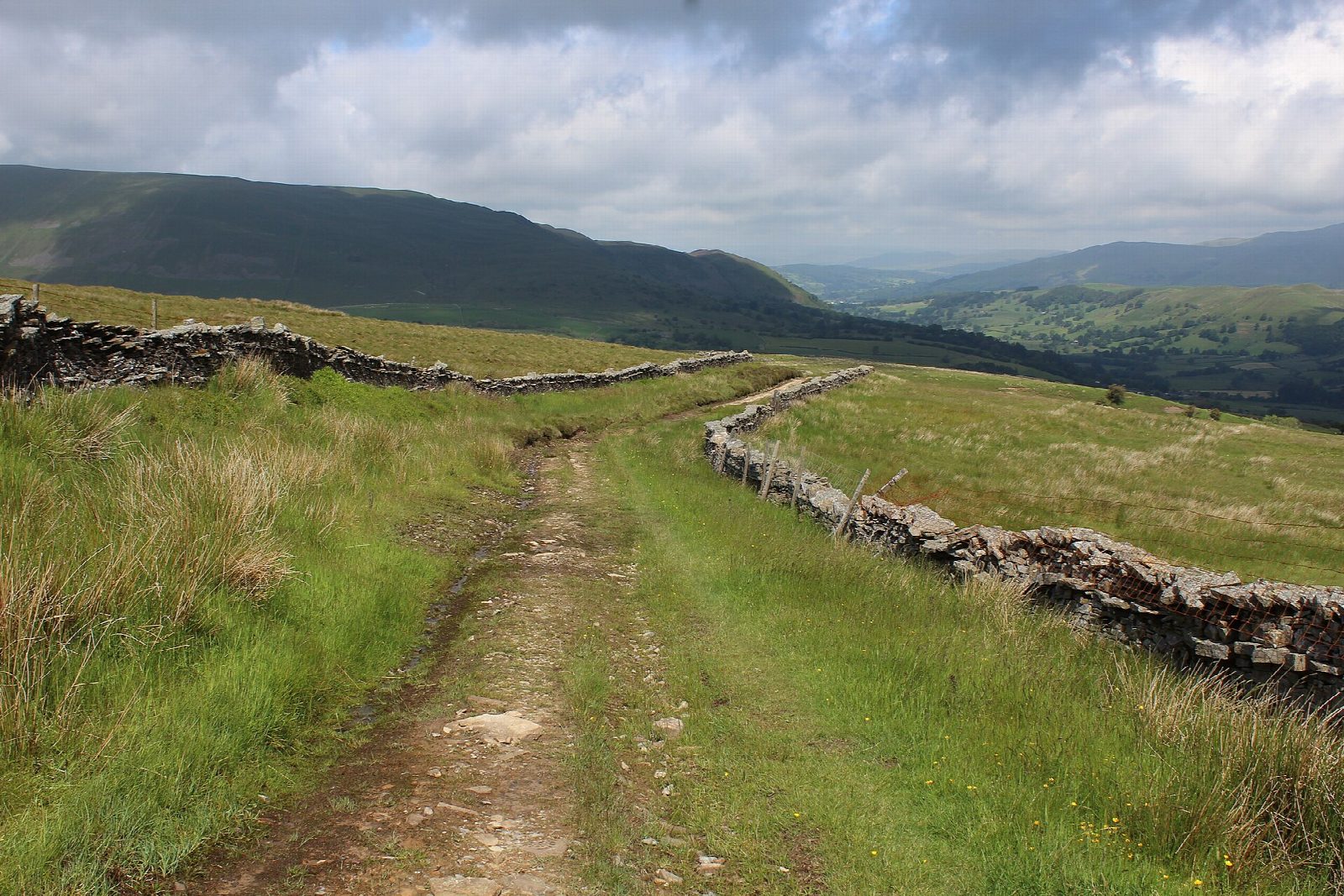
The walk starts from the car park in Dent and makes a circuit above the village. A stony lane climbs steeply beside the wooded ravine of Flinter Gill to the Occupation Road, a walled green lane that runs along the hillside at about 400 m. The route follows it east for 2 km, with views across Dentdale to the Howgills, then turns down the track of Nun House Outrake to Deepdale Lane. Field paths lead down to the River Dee, and the Dales Way follows the riverbank downstream, back to Dent.
It is 7.9 km with 286 m of ascent; allow about 2¾ hours. The grade is Easy: one steep climb at the start, then tracks and field paths.
The lane up Flinter Gill is steep and its stones are slippery when wet. The Occupation Road is rutted and holds water after rain. The riverside path crosses fields with sheep and cattle, so keep dogs on a lead, and it can flood when the Dee is high. The high lane is exposed in bad weather.
The car park in the village charges a fee. Dent station, on the Settle to Carlisle line, is about 5 miles up the dale, with a steep last mile, and is not a practical way to reach this walk.
Route drawn by Global Adventurer along OpenStreetMap paths (© OpenStreetMap contributors, ODbL), with figures worked out from it. Check the forecast and the ground on the day: paths change.
Good to know
- Dent, a village of cobbled streets in Dentdale
- Up the wooded ravine of Flinter Gill to the Occupation Road, a walled green lane
- Wide views over Dentdale to the Howgills
- Back along the Dales Way beside the River Dee
Getting there
Start: Dent car park · Pay and display. 54.27866, -2.45574
Places to stay nearby
Rooms in and around Dent: Booking.com → Expedia →
Affiliate links: if you book, Global Adventurer earns a small commission at no cost to you.
Paths change, and the weather decides the day. The line and figures come from OpenStreetMap and our own checks; take a map, check the forecast, and turn back if it isn't right.
