Line © OpenStreetMap contributors (ODbL), checked by Global Adventurer.
The walk
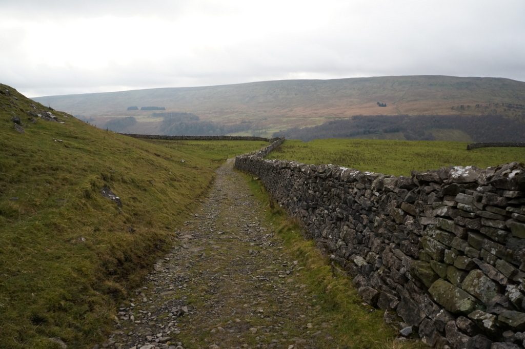
The walk starts from the National Park car park in Buckden and makes a circuit. The track of Buckden Rake, part of a Roman road, climbs north from the car park, and a path turns up the open fellside to the trig point on Buckden Pike (702 m). The route follows the ridge south to the memorial cross to five Polish airmen whose bomber crashed here in a snowstorm in 1942, and on to the Walden Road, an old way over the fell. A walled track, Starbotton Cam Road, drops steeply to the village of Starbotton. A footbridge crosses the Wharfe, and the Dales Way leads back up the riverside to Buckden Bridge.
It is 14.1 km with 500 m of ascent; allow about 5 hours. The grade is Moderate: one long climb and a steep descent, then a level walk back by the river.
The National Park describes a good clear route up the fell from the car park. The grassy summit plateau and the ridge beyond it are wet and peaty, and in mist the wall along the ridge is the guide between the summit and the memorial. The descent to Starbotton is steep and stony.
The National Park car park costs £3.80 for up to two hours, £6 for longer and £7 for 24 hours and has toilets. There is no station nearby.
Route drawn by Global Adventurer along OpenStreetMap paths (© OpenStreetMap contributors, ODbL), with figures worked out from it. Check the forecast and the ground on the day: paths change.
Good to know
- Buckden Pike, 702 m, at the head of Wharfedale
- Buckden Rake is part of a Roman road between the forts at Ilkley and Bainbridge
- A memorial cross to five Polish airmen whose Wellington bomber crashed here in a snowstorm in 1942
- Back along the Dales Way beside the Wharfe from Starbotton
Summits on the way
- Buckden Pike 702 m
Getting there
Start: Buckden National Park car park · Pay and display. 54.19206, -2.08966
Places to stay nearby
Rooms in and around Horton-in-Ribblesdale: Booking.com → Expedia →
Affiliate links: if you book, Global Adventurer earns a small commission at no cost to you.
Paths change, and the weather decides the day. The line and figures come from OpenStreetMap and our own checks; take a map, check the forecast, and turn back if it isn't right.

