Line © OpenStreetMap contributors (ODbL), checked by Global Adventurer.
The walk
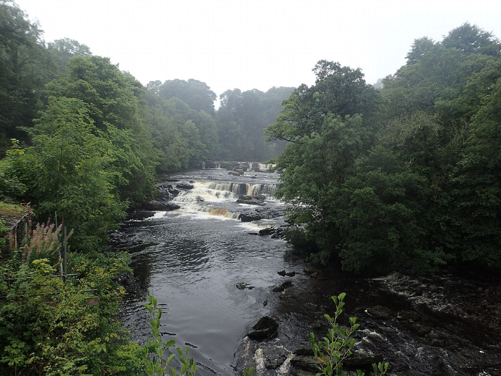
The walk starts from the National Park car park at Aysgarth Falls and makes a circuit. It first goes to the Upper Falls by the old bridge, then follows the made path through Freeholders' Wood to the Middle and Lower Falls, where the River Ure drops over broad limestone steps. Field paths lead north-east by Hollins House and across the pastures to Castle Bolton, a village of one street under the walls of Bolton Castle, built in 1399. The return follows a higher line of field paths and tracks west to the village of Carperby, then paths south over the fields and through Freeholders' Wood back to the car park.
It is 10.1 km with 164 m of ascent; allow about 3 hours. The grade is Easy: it is long for an easy walk, but the paths are gentle throughout.
The National Park warns that the woodland paths can be muddy, with slippery tree roots, and that the limestone at the falls viewpoints is slippery when wet. There are many narrow gates and stiles. The fields are grazed, so keep dogs on a lead. The falls are at their best after rain. Entry to Bolton Castle is charged.
The National Park car park costs £3.80 for up to two hours, £6 for longer and £7 for 24 hours; there are toilets and a café. There is no station nearby.
Route drawn by Global Adventurer along OpenStreetMap paths (© OpenStreetMap contributors, ODbL), with figures worked out from it. Check the forecast and the ground on the day: paths change.
Good to know
- The Upper, Middle and Lower Falls of the River Ure at Aysgarth
- Bolton Castle, built in 1399, one of the best preserved medieval castles in the country
- Freeholders' Wood, where dormice were reintroduced in 2008
- Field paths to Castle Bolton and back by Carperby
Getting there
Start: Aysgarth Falls National Park car park · Pay and display. 54.29437, -1.98392
Places to stay nearby
Rooms in and around Garsdale: Booking.com → Expedia →
Affiliate links: if you book, Global Adventurer earns a small commission at no cost to you.
Paths change, and the weather decides the day. The line and figures come from OpenStreetMap and our own checks; take a map, check the forecast, and turn back if it isn't right.