Line © OpenStreetMap contributors (ODbL), checked by Global Adventurer.
The walk
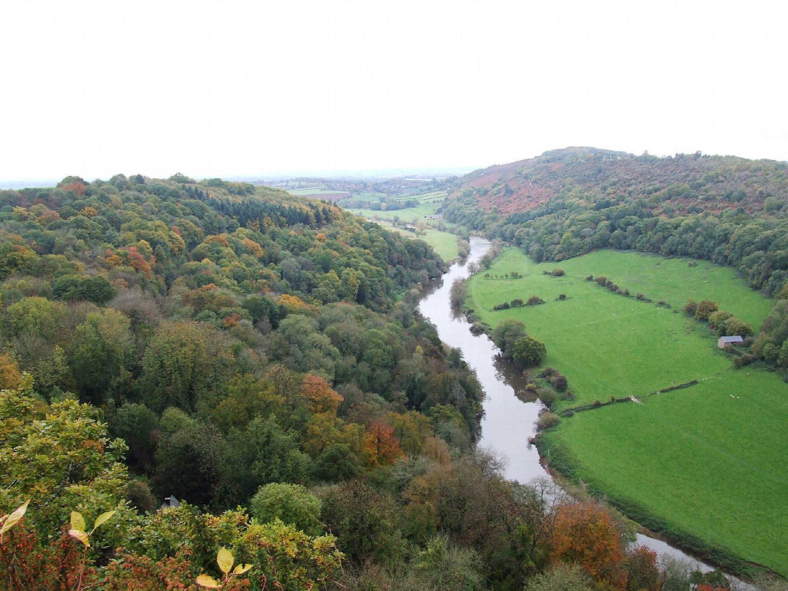
From the Symonds Yat Rock car park the walk goes south through Highmeadow Woods and down to the River Wye at the Biblins, where a swaying suspension bridge crosses the river; the last stretch to the bridge is out and back. It turns upstream along the old railway line, now the riverside Peregrine Path, under the wooded cliffs of the gorge to Symonds Yat East. A steep path climbs back up to Symonds Yat Rock, a viewpoint high above a great loop of the river, where peregrine falcons nest in summer.
It is 6.6 km with 159 m of ascent; allow about 2 hours. The grade is Easy. The climb back to the rock is steep, on steps.
The river is fast and deep: keep children close on the riverside path. The woodland paths are slippery after rain. The hand ferry at Symonds Yat East is not needed for this walk. Keep dogs on leads near the viewpoint.
The Symonds Yat Rock car park is run by Forestry England and charges a fee. There is no station near; the nearest is Lydney, about 15 km away.
Route drawn by Global Adventurer along OpenStreetMap paths (© OpenStreetMap contributors, ODbL), with figures worked out from it. Check the forecast and the ground on the day: paths change.
Good to know
- Down through Highmeadow Woods to the River Wye
- Out to the Biblins, where a suspension bridge crosses the river
- Back up the river along the old railway line to Symonds Yat East
- Symonds Yat Rock looks down on a great loop of the Wye
Getting there
Start: Symonds Yat Rock car park · Pay and display. 51.83688, -2.63584
Places to stay nearby
Rooms in and around Lydney: Booking.com → Expedia →
Affiliate links: if you book, Global Adventurer earns a small commission at no cost to you.
Paths change, and the weather decides the day. The line and figures come from OpenStreetMap and our own checks; take a map, check the forecast, and turn back if it isn't right.