Line © OpenStreetMap contributors (ODbL), checked by Global Adventurer.
The walk
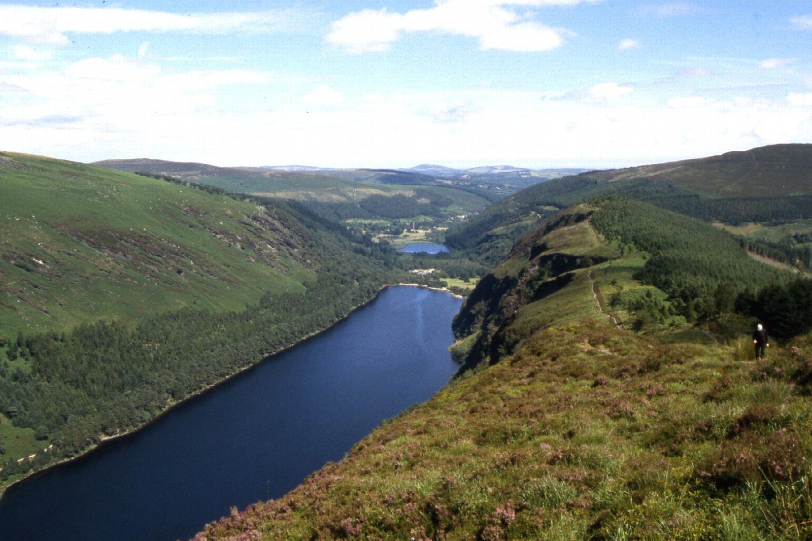
From the Upper Lake car park, take the Miners' Road west along the north shore of the Upper Lake to the ruined Miners' Village. Climb the rocky zig-zags into the Glenealo Valley and cross the river at the footbridge. Turn east on the boardwalk onto the Spinc and follow the cliff top high above the south shore, then drop through the woods past Poulanass Waterfall to the car park. The loop goes anticlockwise, on white arrows, as the National Parks and Wildlife Service (NPWS) describes it.
It is 9.7 km round with 316 m of ascent; allow about 3½ hours. The grade is Moderate: a level track by the lake, then steep, rocky zig-zags, boardwalk and a stony cliff-top path.
NPWS is rebuilding the zig-zag path for about six months from 20 July 2026: the trail stays open, but expect short waits, and it may close on a day or two when stone is flown in by helicopter. On the Spinc keep back from the edge. Wear boots and carry rain gear.
The Upper Lake car park charges €5 a car at the entrance; Laragh, 3 km away along the Green Road, has a free car park (8am to 8pm). St Kevin's Bus runs daily from Dublin via Bray to the visitor centre, 20 minutes' walk from the Upper Lake.
Route drawn by Global Adventurer along OpenStreetMap paths (© OpenStreetMap contributors, ODbL), with figures worked out from it. Check the forecast and the ground on the day: paths change.
Good to know
- Glendalough, the valley of two lakes, grew around the monastery St Kevin founded in the 6th century
- Lead and zinc were mined at the head of the valley in the 1800s; the Miners' Village ruins remain
- The Spinc boardwalk runs along the cliff top high above the Upper Lake
- Wicklow Mountains National Park waymarks the loop with white arrows
Getting there
Start: Upper Lake car park, Glendalough. 53.00709, -6.34420
Places to stay nearby
Rooms in and around Upper Lake car park: Booking.com → Expedia →
Affiliate links: if you book, Global Adventurer earns a small commission at no cost to you.
Paths change, and the weather decides the day. The line and figures come from OpenStreetMap and our own checks; take a map, check the forecast, and turn back if it isn't right.